INDIANAPOLIS — As you've probably heard, a winter storm will be impacting central Indiana this week. There are still many questions on the timing and track, as computer data models are still not lining up just yet. Regardless, the system will pack a punch Thursday night through Friday. In fact, it will resemble more blizzard-like conditions, due to the strong winds and blowing snow
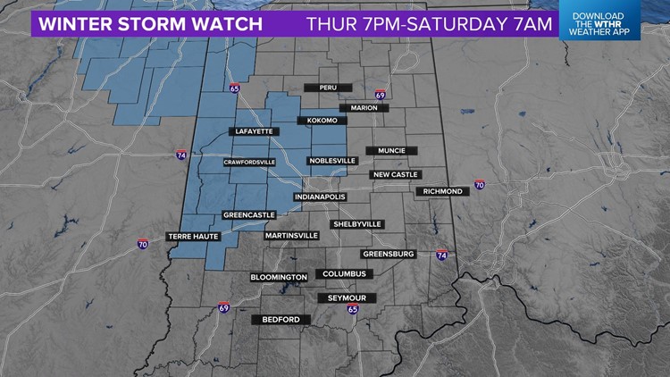
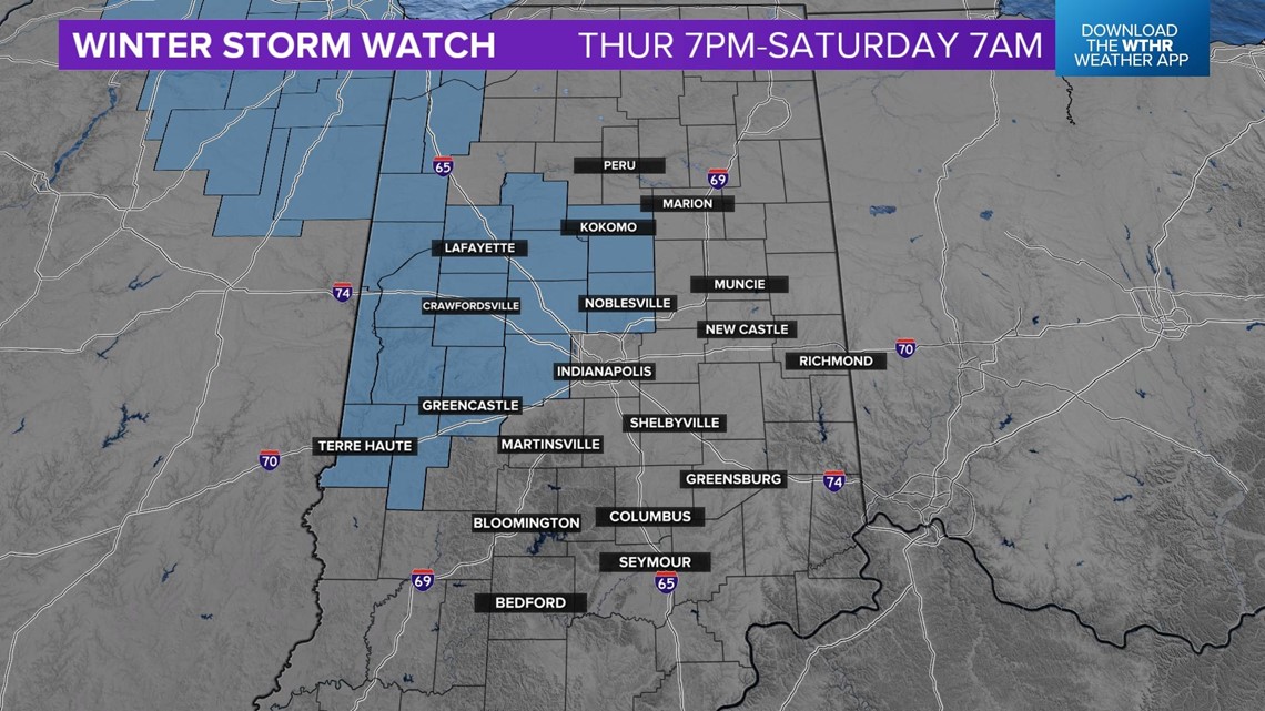
A Winter Storm Watch is now in effect from Thursday evening through Saturday morning.

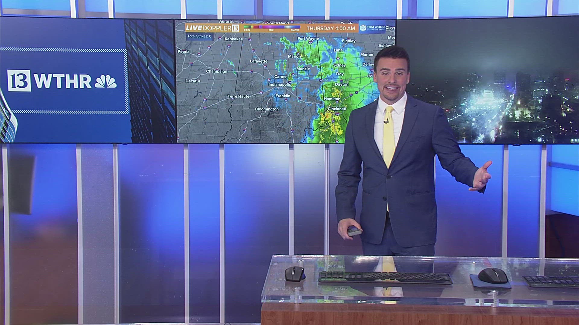
As this system approaches, precipitation will start off as rain.

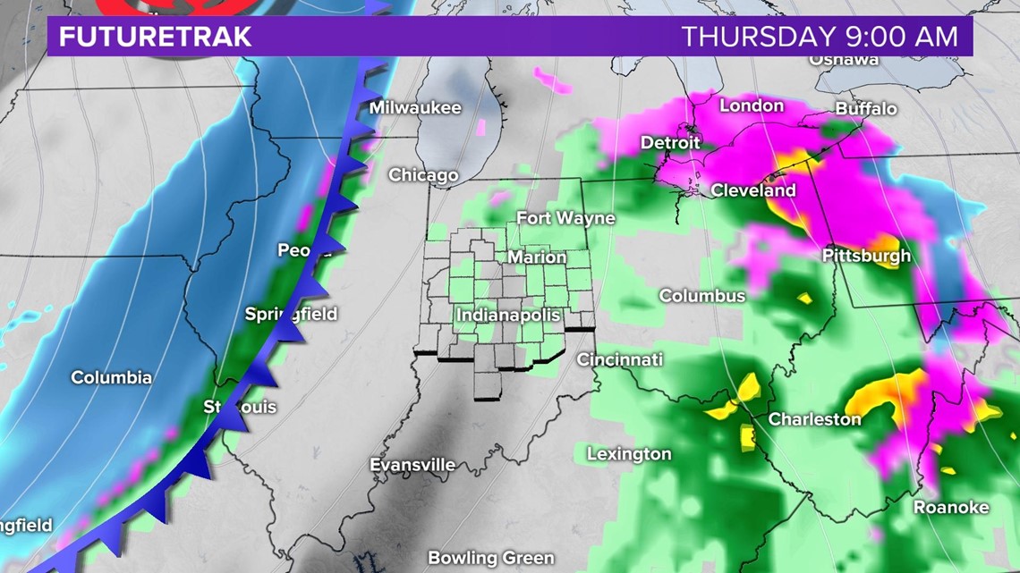
Colder air will wrap in as a strong northwesterly flow pushes in aloft. Air temperatures will fall quickly. Temperatures will drop from the low 30s Thursday night into the low single digits by Friday late morning.
Rain will change over to snow by Thursday late day.

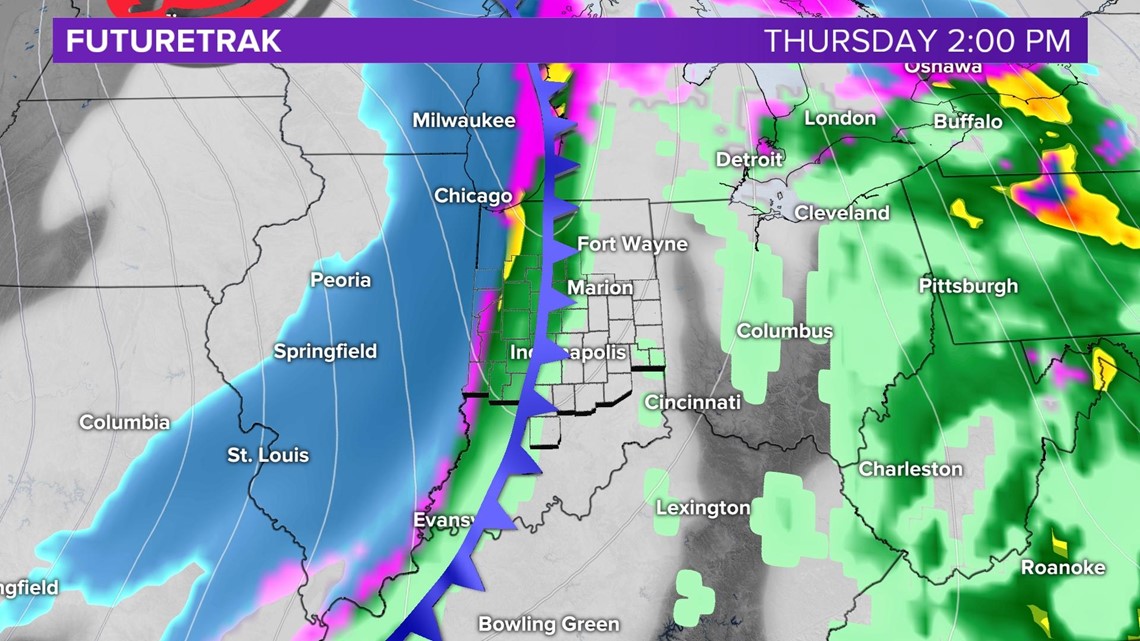

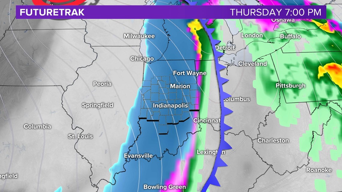
The pressure will drop very quickly, as it moves over Indiana. This will allow the winds to increase and temperatures to fall. Winds will gust over 40 to 50 mph.

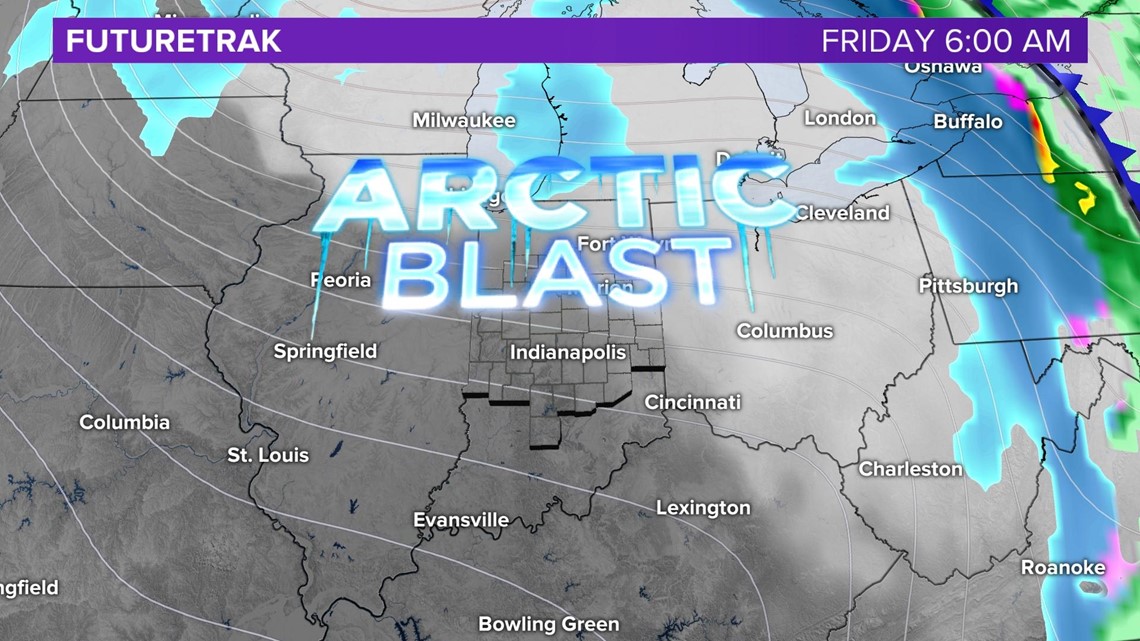
Bitter cold air will flow in behind the arctic front. With the strong winds in place, wind chill values will be near or below 0°.
Please keep checking back for the latest updates as new data comes in.

