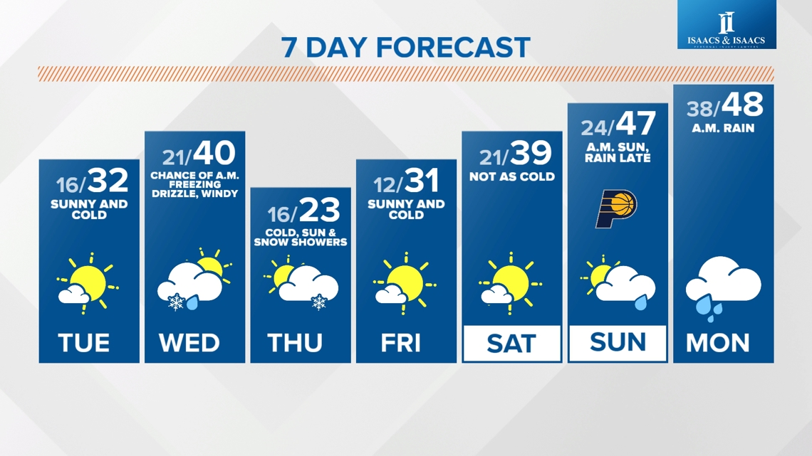
INDIANAPOLIS — Right on cue, the latest snow "event" is underway in central Indiana. And while we won't need our shovels...we will have to be mindful of some slickness from latest quick-moving snow system courtesy of the continued upper-level northwesterly flow.
That flow air is also keeping temperatures unseasonably cold to open the month of December. The combination of sub-freezing air and light snow will go a long way to impact travel conditions of untreated surfaces for the commute today.

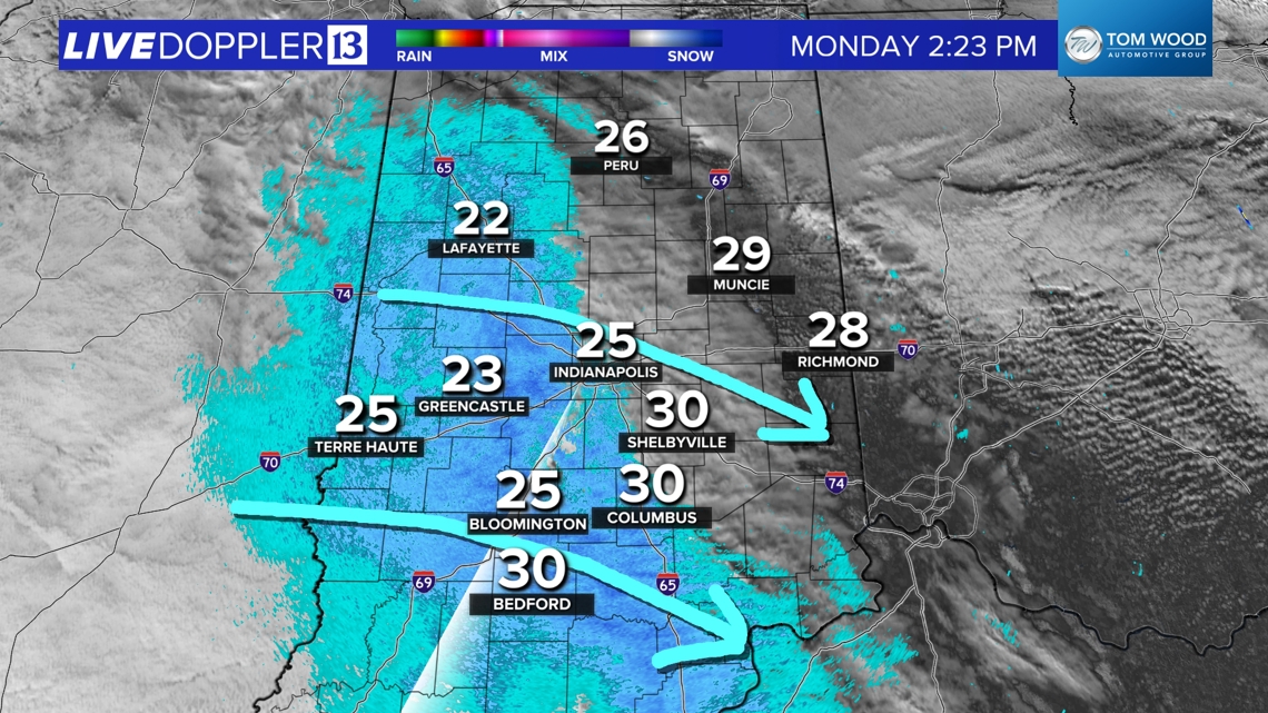

Areas along the I-74 corridor and especially to the south-southwest will most be impacted by this upper air feature that's squeezing out a broad of flurries and light snow. This includes the Indianapolis metro area between now and 8 p.m.

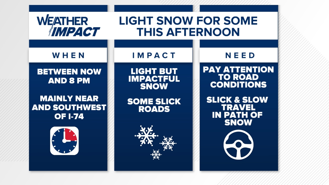
Remember that even "light" snow can makes for slow, slick travel due to the coldness of late and this will be true of bridges/overpasses/untreated surfaces that become slick quicker, as we've seen over the past two events to move through central Indiana.
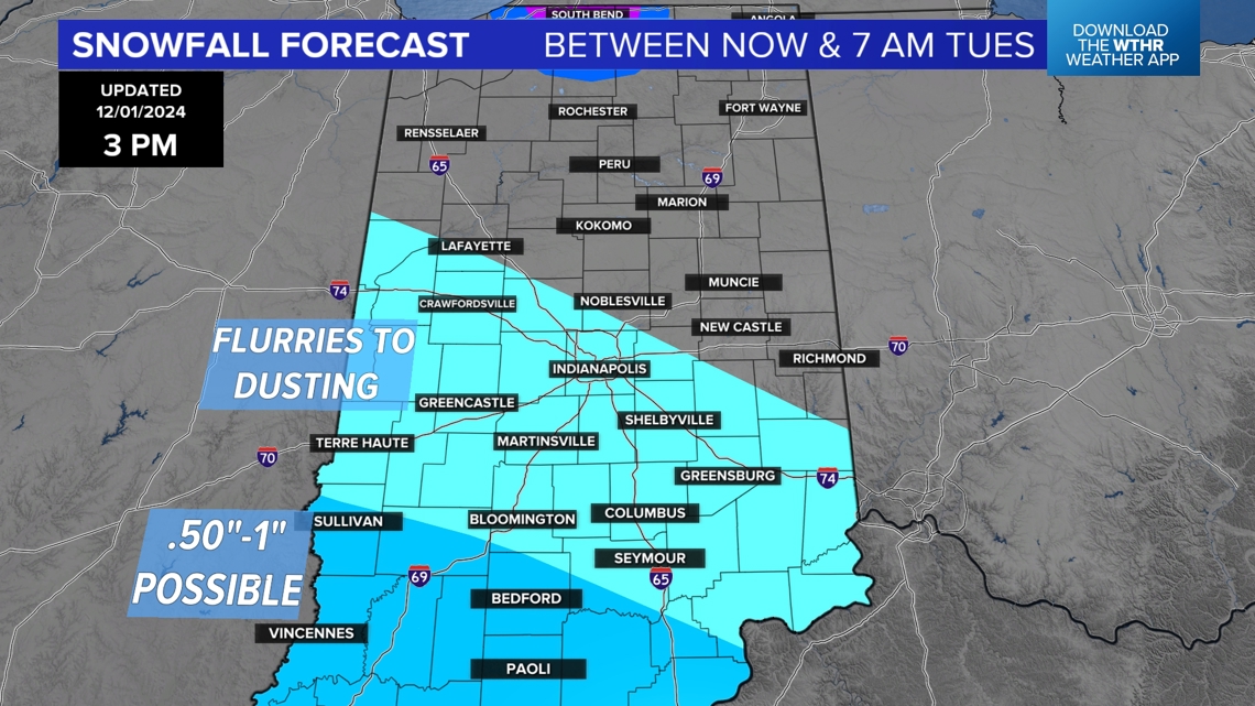
We're advising you to check on road conditions and radar before leaving today and tonight for potential travel impacts. Light snow locally ends quickly before midnight as this system zips off to the east-southeast. But areas in north-central Indiana (Peru, Kokomo, Delphi) may be impacted by remnants of a heftier lake snow band from Lake Michigan.

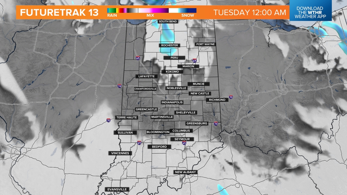
There will be exponentially heavier snow from an expected lake effect snow band in parts of Michiana, including South Bend. Locally 7"+ snowfall coming from 1"-2"+ per hour snow rates within the intense lake effect band will make parts of I-94 & I-90 highly dangerous to travel on. Outside of the band the impacts drop-off quickly.

