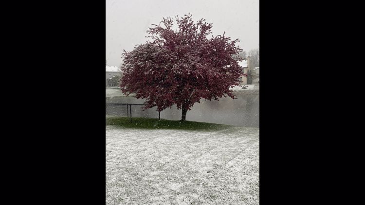
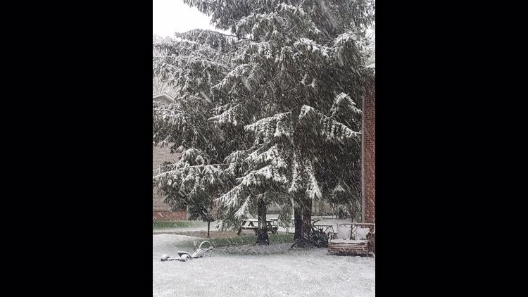
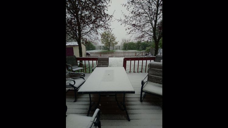
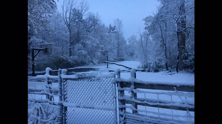
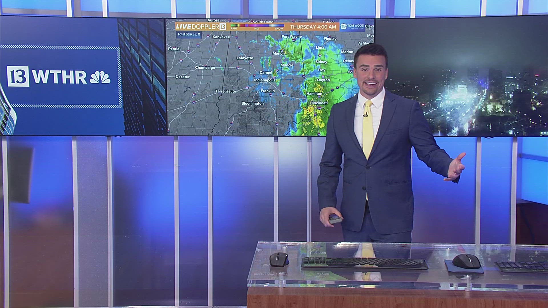
INDIANAPOLIS — Snow reports coming into the 13 Weather Center are in the range of 1- 3 inches. The snow will end around midnight for central Indiana and around 3am for eastern and southeastern Indiana.

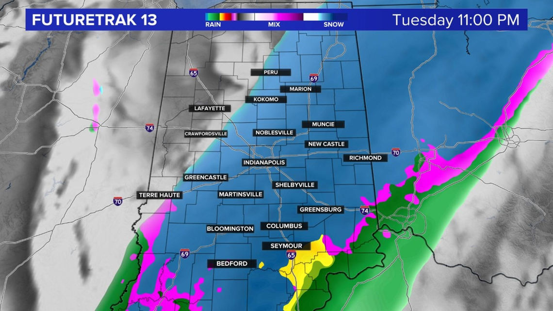

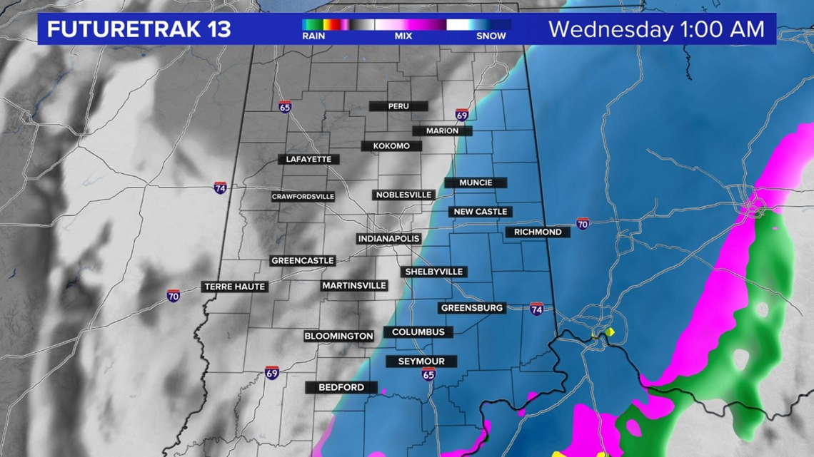
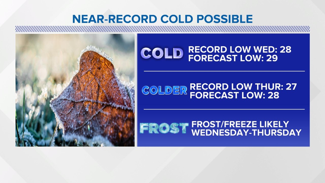
It will be near record cold and cold enough for a hard freeze. If you have plants you want to protect you will need to bring them inside or cover them up tonight and tomorrow night.
At 2 a.m. Wednesday, Duke Energy reported working to restore 4,616 power outages in Indiana, about 1,200 in Johnson County alone.

There will be some sunshine on Wednesday with some afternoon and evening scattered rain and snow showers. Forecast highs are only in the middle and upper 40s.

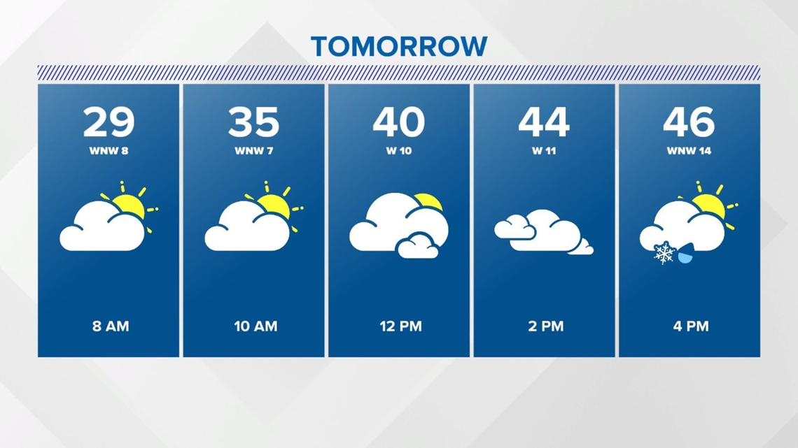
After morning temperatures in the middle and upper 20s on Thursday morning, afternoon temperatures will reach the lower 50s. Highs will be near 60 with some sun on Friday. There is still rain in the forecast on Saturday with sunshine back for Sunday.


