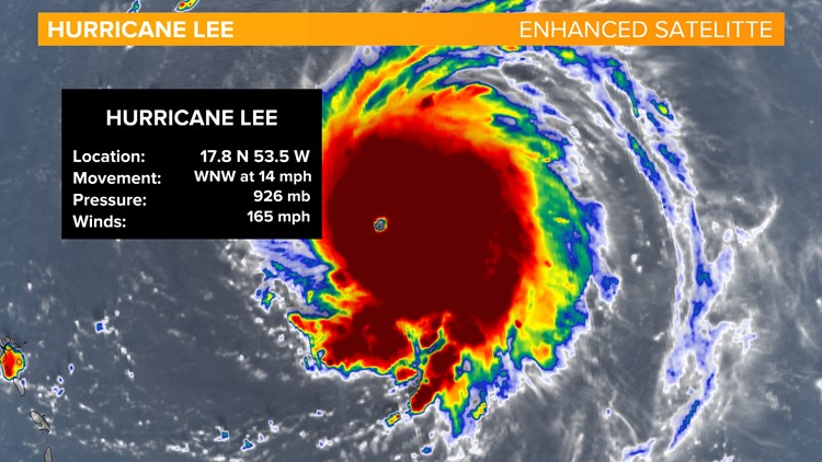
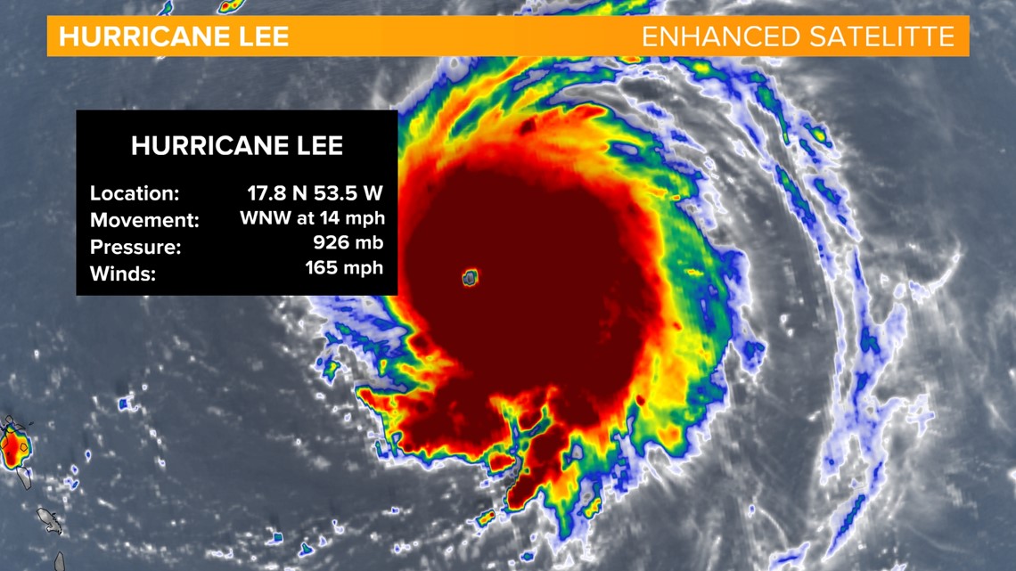
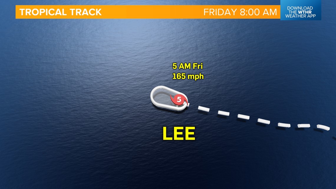
INDIANAPOLIS — The tropics are getting active now, especially the Atlantic. Hurricane Lee has intensified from a Category 1 hurricane to a Category 5 hurricane in less than 24 hours. It now has winds of 165 mph and is moving off to the west-northwest at 14 mph. The eye of the hurricane is apparent on Enhanced Satelitte Imagery, thanks to the dropping pressure.

Lee is out in the middle of the Atlantic and will move north of the Leeward Islands, the Virgin Islands and Puerto Rico this weekend into early next week.

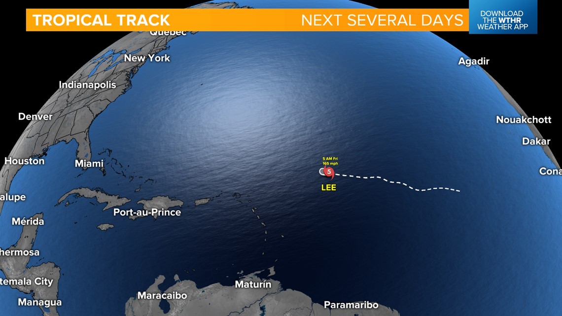


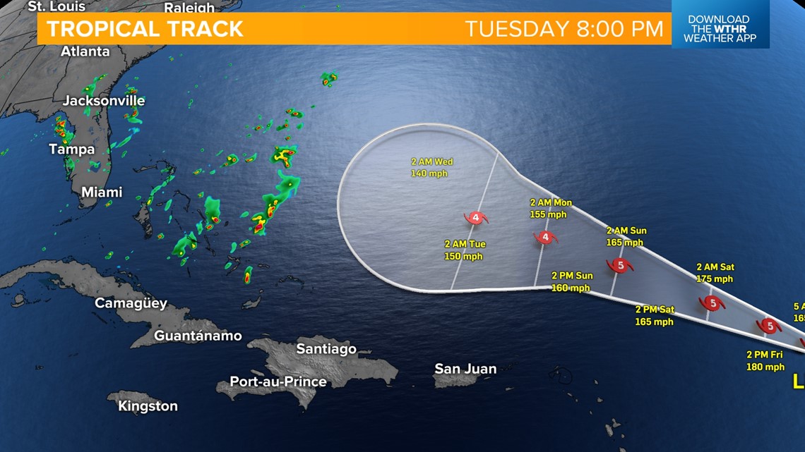
It's forecasted to weaken some, into a Category 4 hurricane, with 150 mph winds. There is a cone of uncertainty by the middle of next week. However, the spaghetti models have most tracks taking a turn to the north.

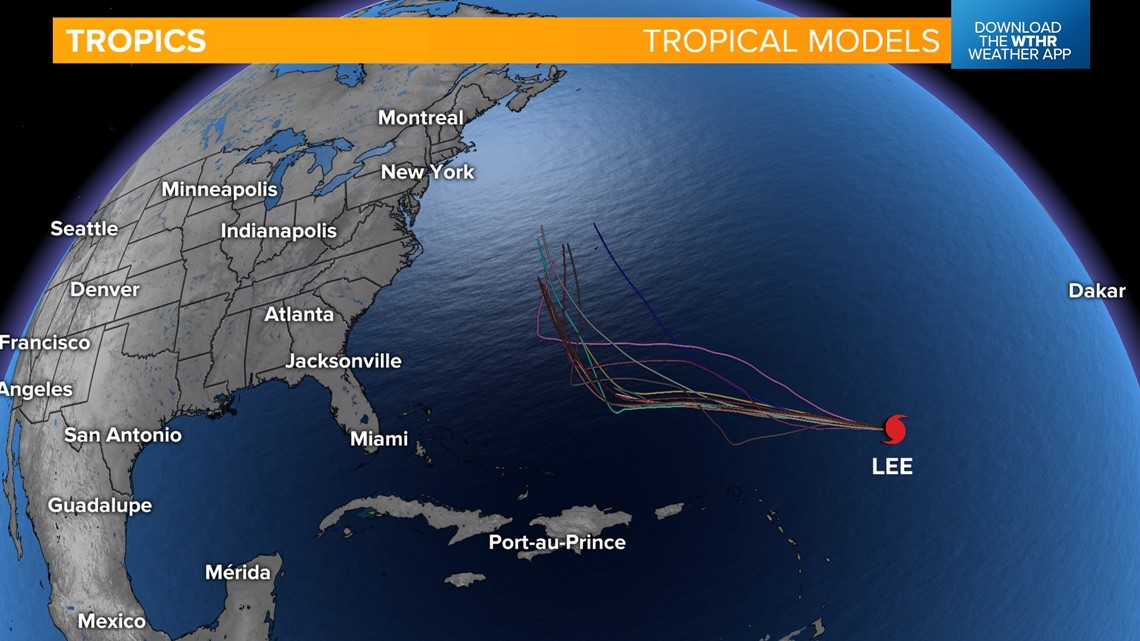
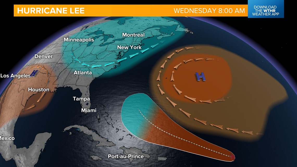
This would be the best case scenerio, keeping most of the eastern seaboard away from the brunt of the storm. There are a couple of reasons Lee will likely move north. The Bermuda high pressure will help steer the hurricane to the north, thanks to it's clock wise flow. And the upper trough over the United States will also help push the system to the east and north.

