

INDIANAPOLIS — If you're a fan of autumn air then you'll be happy about today and Thursday with below average temperatures and a taste of fall in the air. Sun mixes with scattered cumulus clouds for most with the exception being in east-central Indiana that may be overcast at times before the cloud layer burns-off.
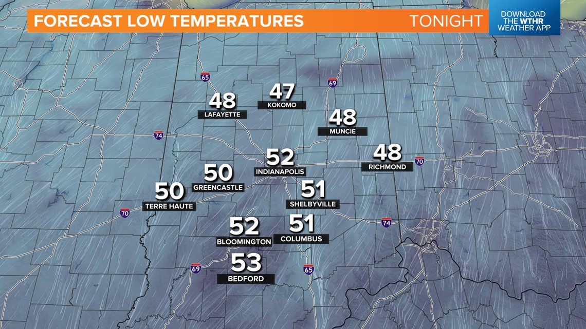
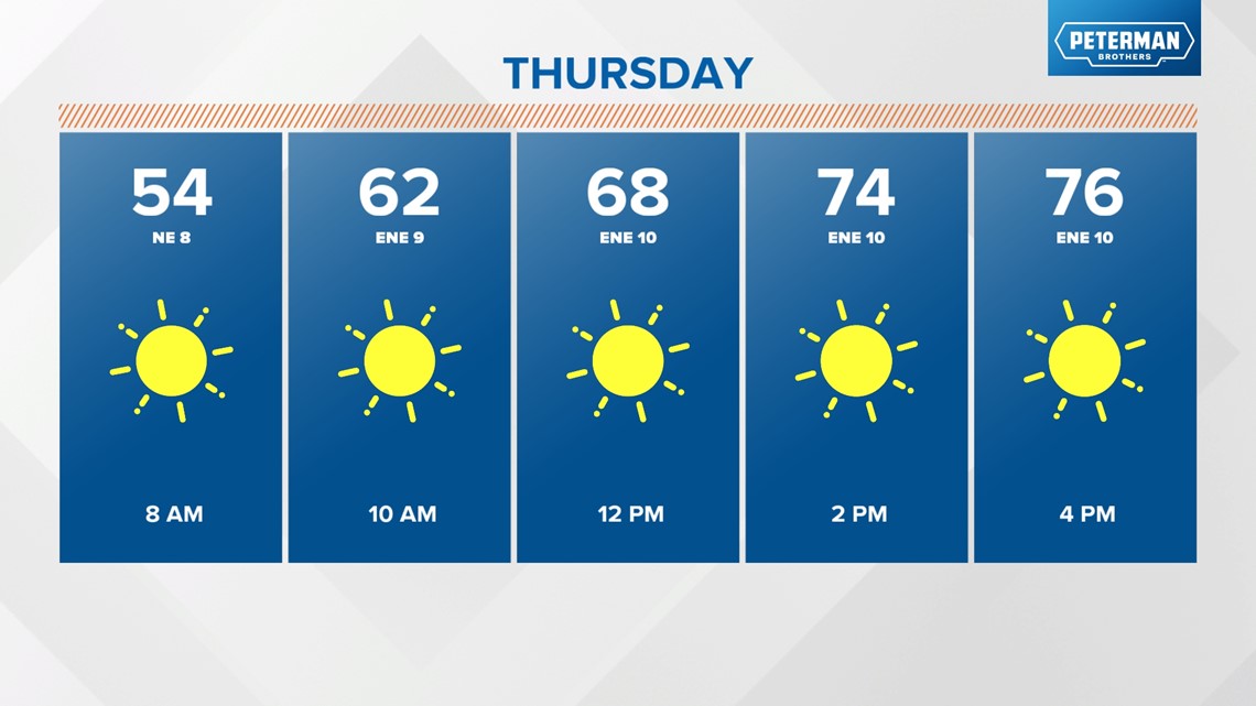
Temperatures peak in the 70-75° range with a brisk north-northeasterly wind of 10-20+ mph. A calming wind and clear sky set the stage for seasonably chilly lows in the 45° to near 50° range Thursday morning. But temperatures recovery nicely with abundant blue sky and highs in the mid/upper 70s.


The Muggy Meter remains comfortable Friday but as a high pressure system moves to the east a returning south-southwest wind delivers a warming trend. Sunshine and highs in the 80s for Operation Football this week but it should be a pleasant evening on the field.

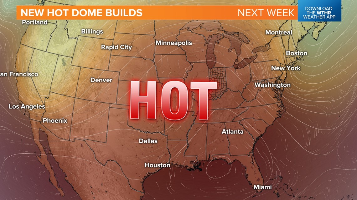
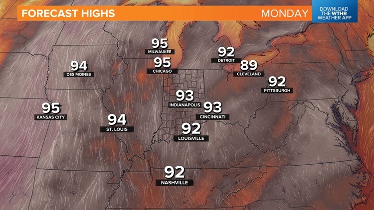
Highs near 90° over the weekend and the warm-up continues next week as the new hot dome spreads eastward into the Ohio Valley delivering sinking air, sunshine, and unseasonably hot highs in the mid-90s for Labor Day and beyond. We're not expecting much hope for rainfall during that time and this pattern of well above average temperatures may last for awhile.
Meanwhile over the southeastern U.S.... Hurricane Idalia continues to drop heavy rain, Category One wind speeds, significant storm surge on western Florida Coast, and a tornado threat from Georgia into the Carolinas. The storm moves along the southeastern to mid-Atlantic coast the next 24 hours before heading out to sea.
