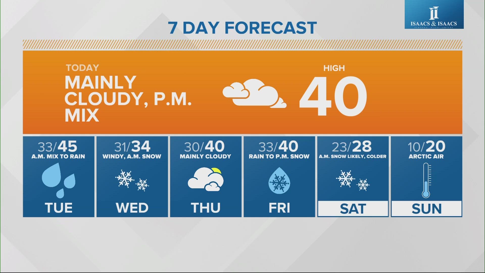
INDIANAPOLIS — Monday will be a quiet day ahead of our next winter storm system that will be packed with Gulf moisture. Throughout the day on Monday, a southeasterly breeze will pick up ahead of the storm. Gusts will increase from 20 mph to 30 mph by the evening.

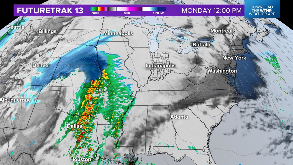
After 5 p.m. or 7 p.m. Monday, rain will start to move west to east into Indiana.

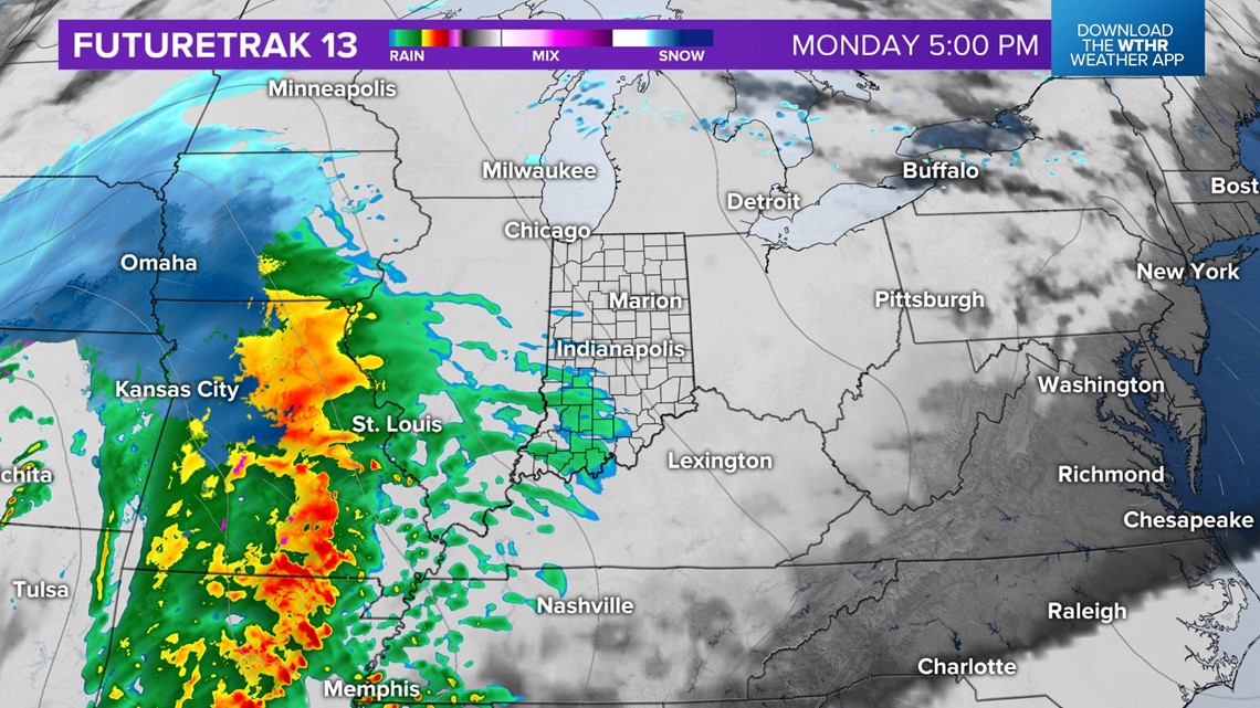
As temperatures drop later in the evening, there will be a switch over to snow and a wintry mix. Precipitation type will be determined upon where the freezing line falls. Areas north of the freezing line will likely experience a quick burst of snow for a few hours.

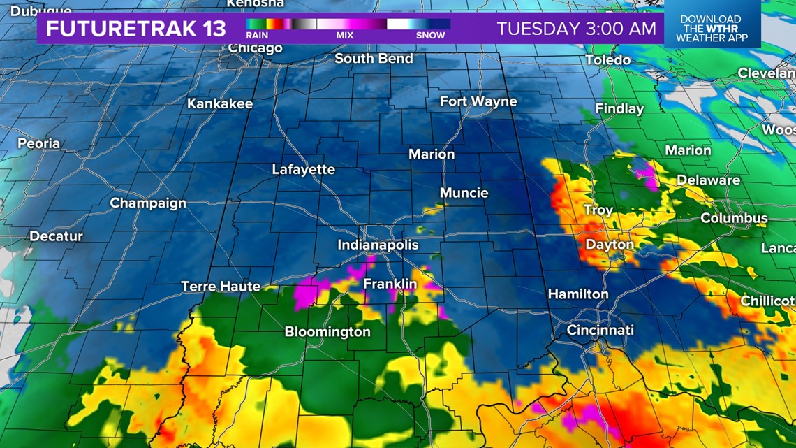
While confidence in type and amounts is low, there is a higher confidence that at least the northern portions of central Indiana will see snow for a few hours. This may extend farther south near Indianapolis. Those across southern Indiana will mainly receive rain.
By daybreak on Tuesday, any snow or frozen precipitation will rapidly change to all rain as temperatures warm above freezing. Expect impacts to the morning commute, whether it's snow, slushy roads, or heavy rain.

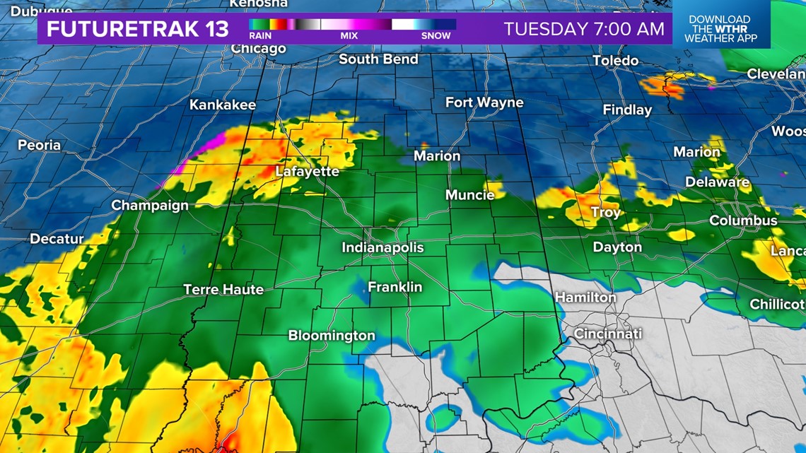
Dry air will start to wrap into the storm system Tuesday afternoon, decreasing rain coverage and intensity.

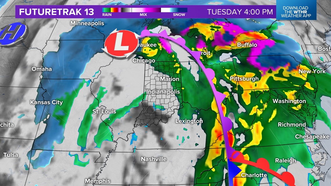
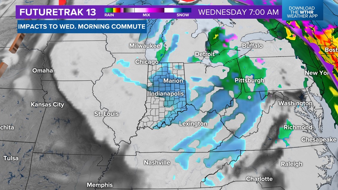
Cold air will return on the back side of the system, changing wrap-around precipitation to snow late Tuesday through Wednesday morning. Any wet roadways and snow accumulation could cause a slick morning commute.