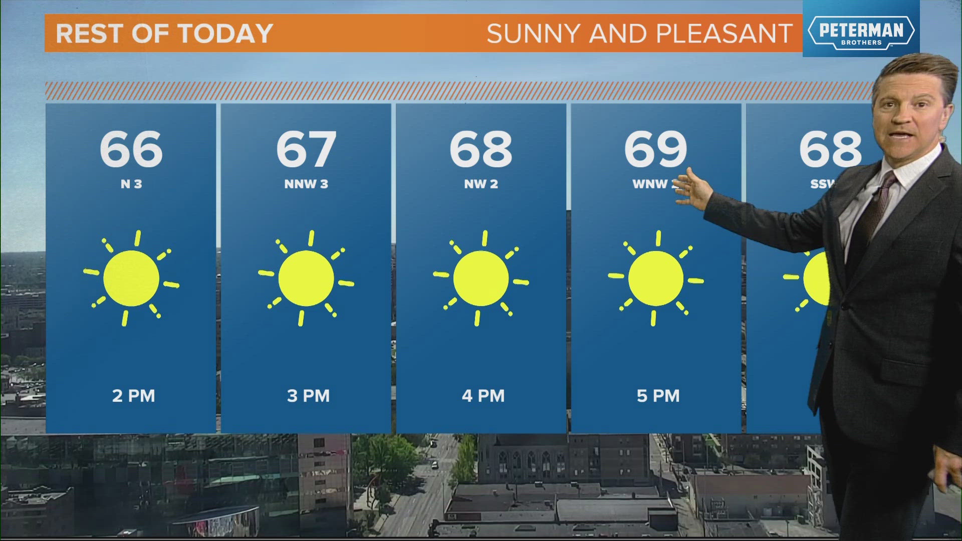
INDIANAPOLIS — Simply spectacular weather in central Indiana — and a good chunk of the eastern United States for that matter. Sunshine and near 70° gives the Hoosier State a strong argument for the "Best Weather In The Country" award this afternoon with severe clear conditions.
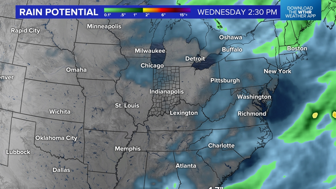
We're just getting started on a string of mainly sunny days that stretches well into next week. In fact, a sizeable portion of the U.S. will experience below average precipitation during the next couple of weeks. The exception to that rule could be the state of Florida. While tropical storms and/or hurricanes seems unlikely in the Gulf of Mexico due to a series of cold fronts moving through the eastern U.S., those stalled boundaries will be the focal of highly unsettled weather later this week into next week.

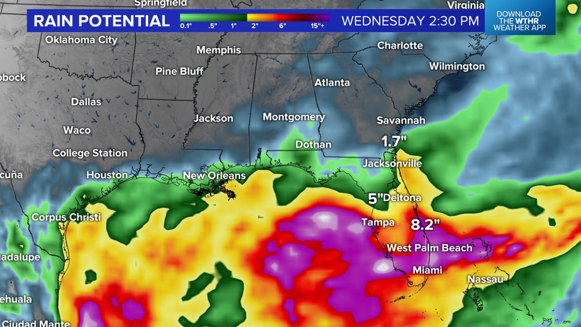

That front becomes the triggering mechanisms of rounds of heavy rain and thunderstorms with some areas of Florida easily exceeding 5" of rainfall during that time.
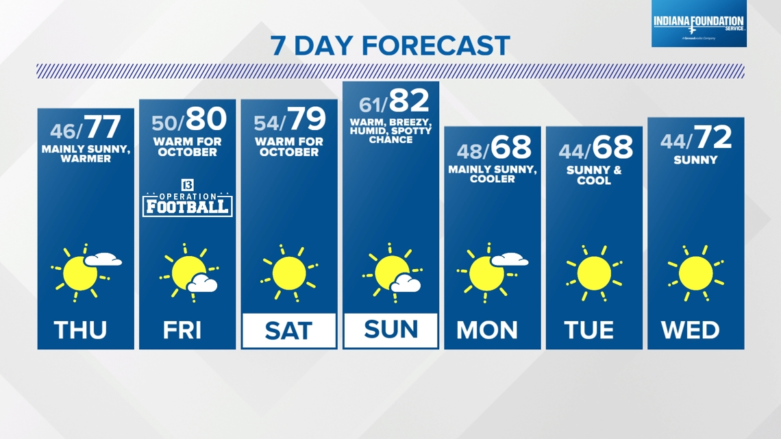
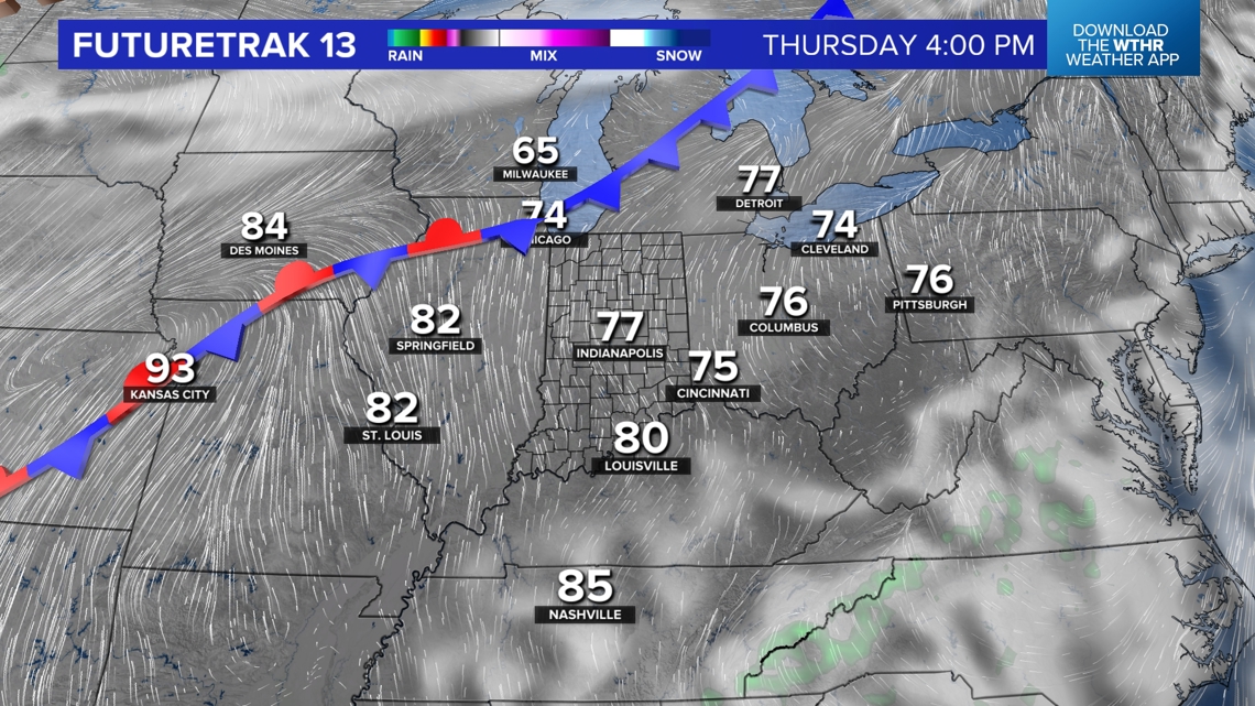
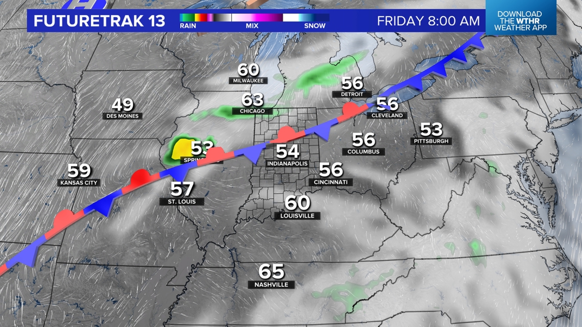
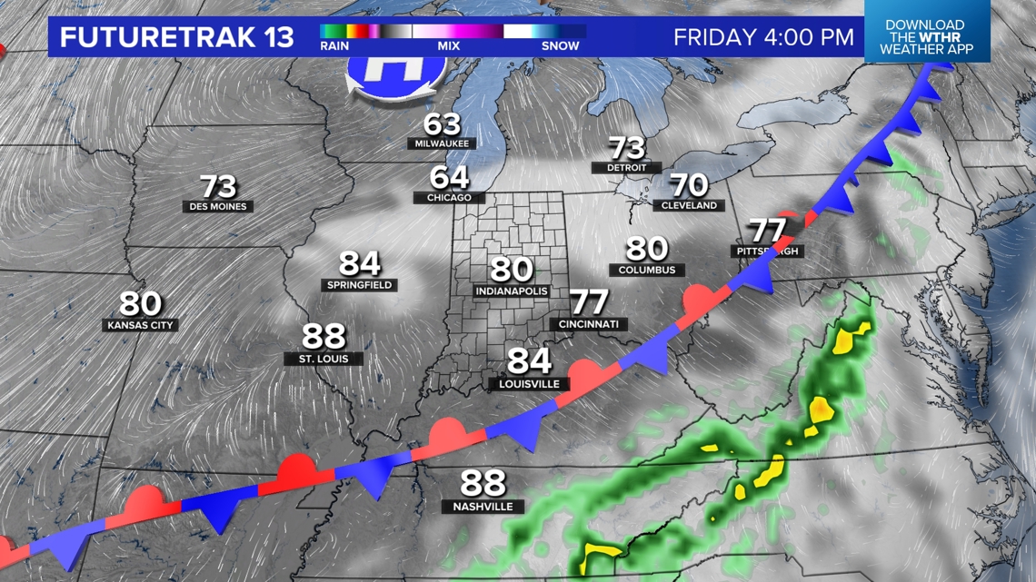
Locally, another seasonably cool night ahead of lows well in the 40s heading into Thursday morning. But a wind shift to the south-southwest delivers warmer highs in the upper 70s to near 80°. A weak, moisture-starved boundary arrives Friday with only a slight shower chance. It doesn't stop us from nearing 80° again.


An unseasonably warm (average highs near 70°) weekend is on deck, with highs near/above 80° with a good dose of sunshine. The third frontal system arrives Sunday afternoon with a spotty shower/thunderstorm chance within an air mass that will noticeably more humid. But we're quickly back to near-normal temperatures early next week of lows in the 40s and highs in the 60s to near 70°.