INDIANAPOLIS — Noticeably warmer temperatures this afternoon in what's the warmest day (84°+) in Indianapolis since September 21st of last year when it was 93°... and a 10°+ above daily average.
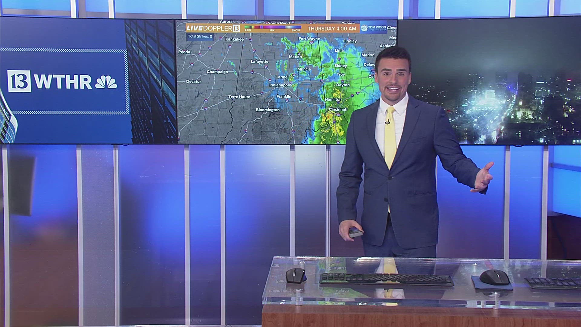
This will be the warmest day until next week thanks to the passage of a moisture-starved cold front this evening. While a stray sprinkle and/or quick-moving shower is possible...it's highly unlikely. A strengthening northeasterly wind ushers-in uncharacteristically dry air for late-May as dewpoints plummet into the 20s/30s Thursday morning.

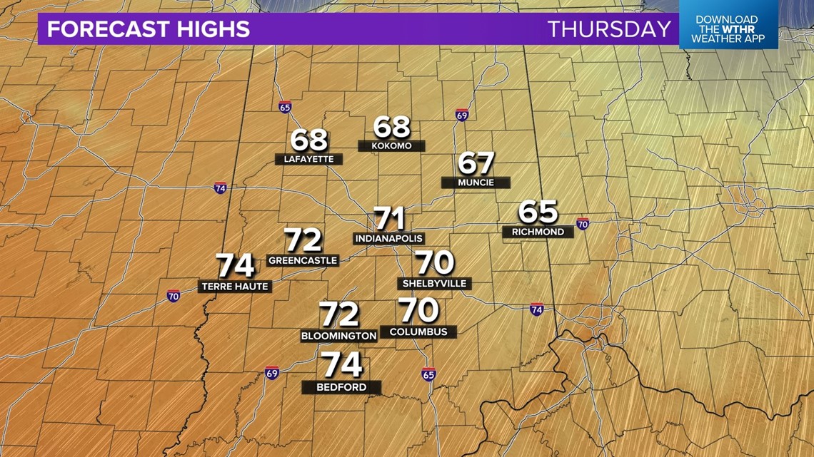

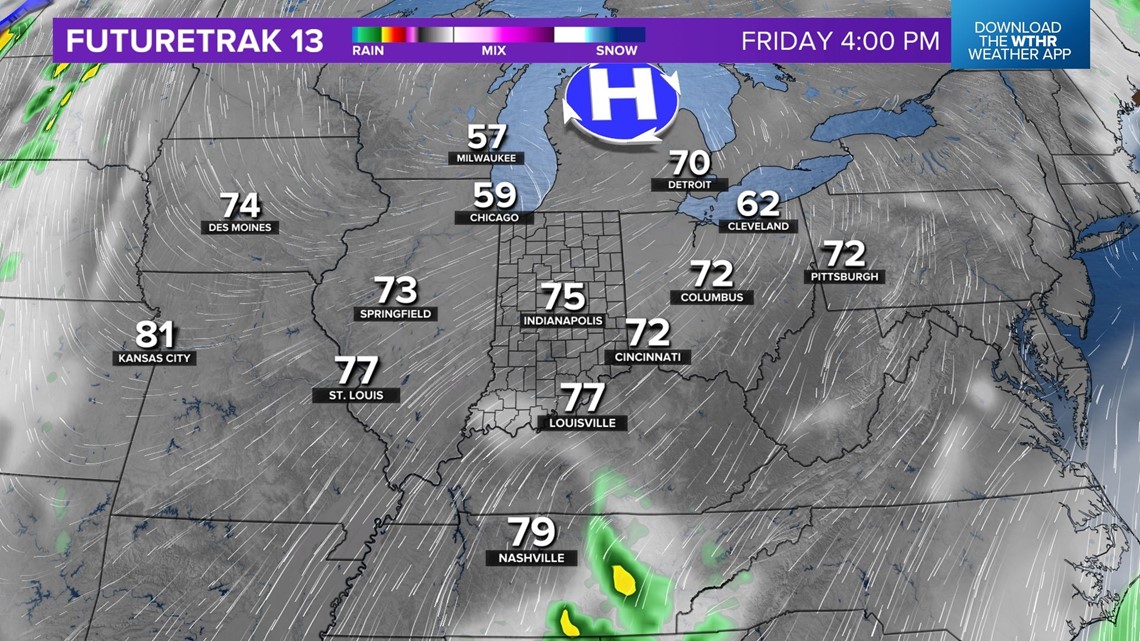
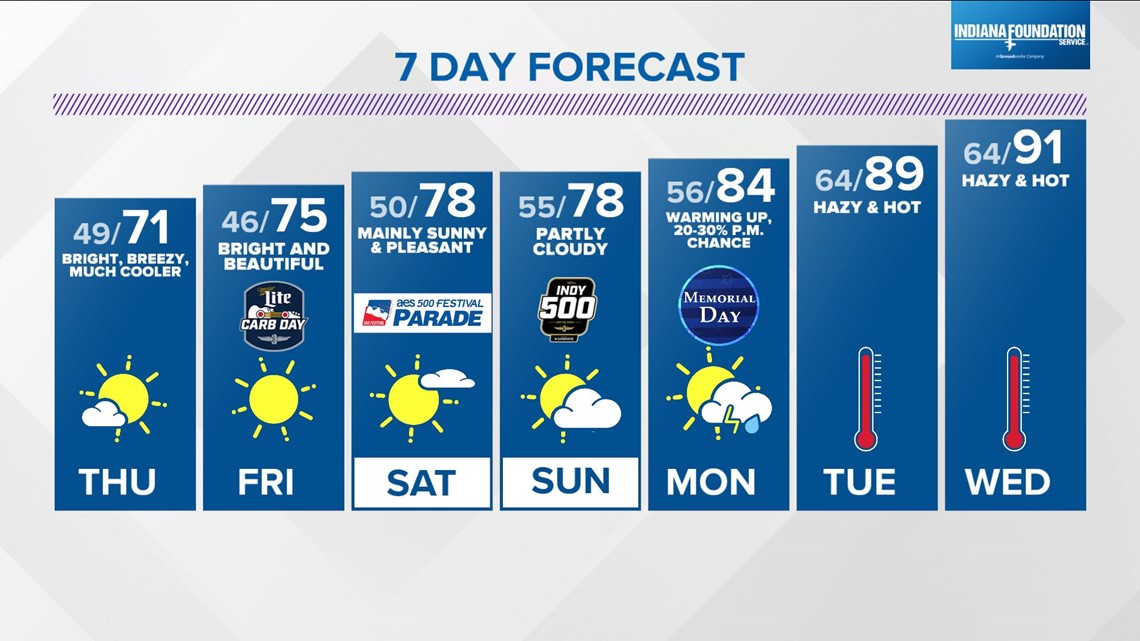
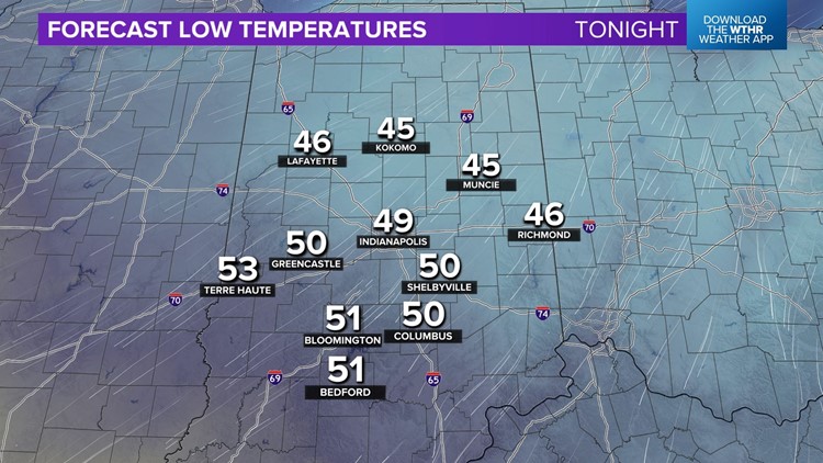
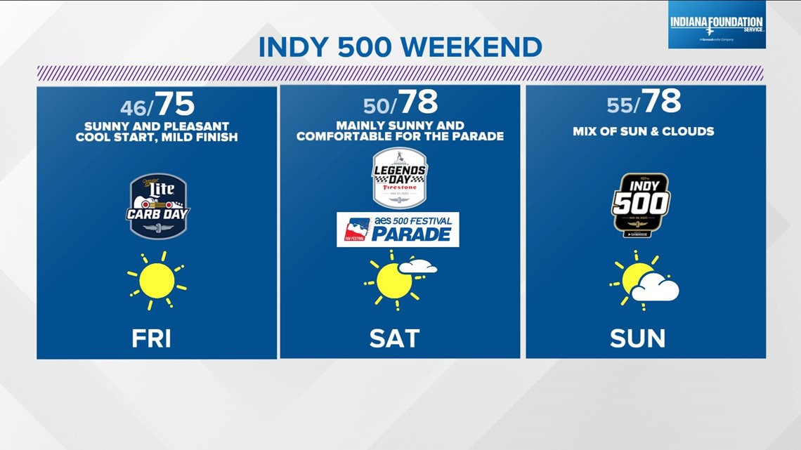
Refreshing air as you head out tomorrow with a much bluer sky too as the wind disperses the haze layer from the wildfire smoke. The next 48-72 hours will be near weather perfection in my book with cool start, mainly sunny sky, and highs near 70° Thursday, mid-70s Carb Day, and mid/upper 70s Saturday.
The dry airmass blanketing central Indiana into the weekend serves as a force-field in keeping the WTHR viewing area mainly dry, with just the slightest chance of late-day showers Sunday.

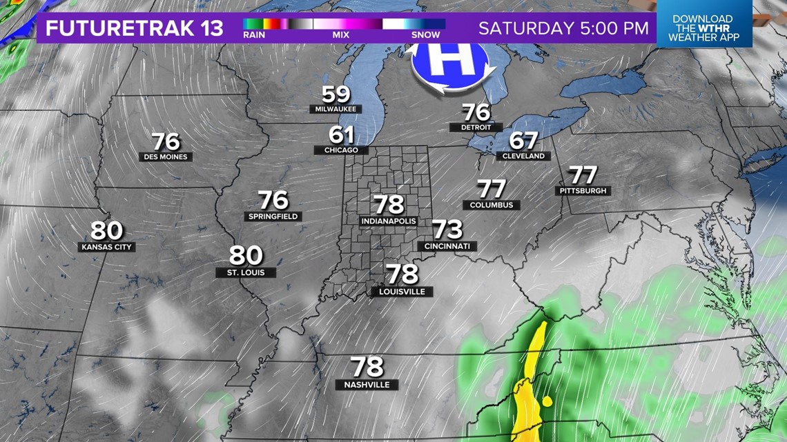

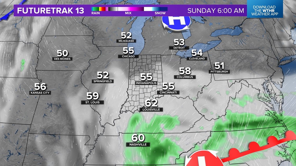
We're still monitoring the trends of a low pressure system that will be centered south of us, but there's still uncertainty on just how far south. The closer to the Ohio River solution would put spotty shower chances in play later Sunday. The farther south the less influence and nullify any slight shower chance.
What's more likely is that some mid to high level cloud cover will spin southeast-to-west/northwest into the Ohio Valley from around the counter-clockwise circulation of the low.

Meaning that Atlantic Ocean moisture would be a forecast puzzle player vs the Gulf, which doesn't happen too often here.
Another big story in this forecast package is the likelihood of a heat wave developing next week with a string of near/above 90° with little chance of rain into the opening of June.

