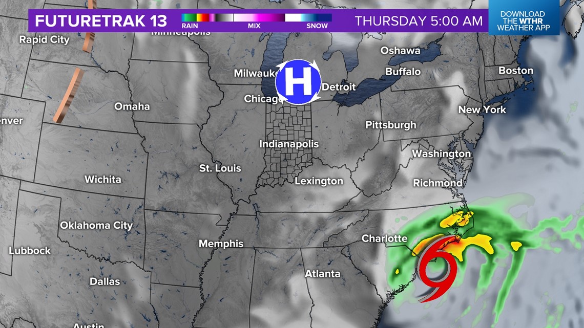
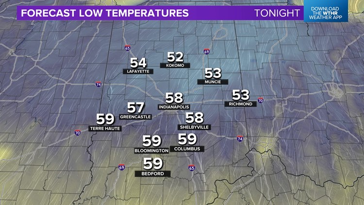
INDIANAPOLIS — A refreshing northeasterly breeze continues to drop the Muggy Meter down and is just what the doctor ordered after the oppressively humid air we endured last week. You can definitely feel the difference tonight and could give the A/Cs a break if you'd like with dropping comfortably into the 50s Monday morning.
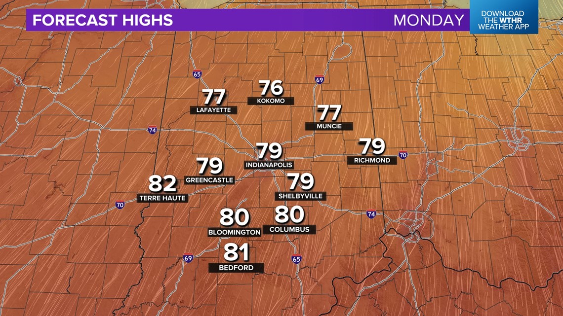
The dry flow brings pleasantly cool mornings this week, followed by mild afternoons in the upper 70s/lower 80s with plenty of sunshine. A weak cool front moving across the state Tuesday evening into predawn Wednesday may trigger widely-spaced showers and/or a few storms. But we're not expecting much coverage due to limited low-level moisture.


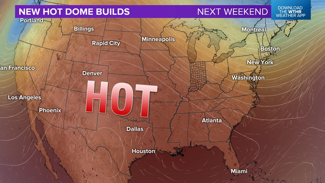
A bigger impact of the front will be reinforcing pleasant air for Wednesday and Thursday. Long-range guidance continues to hint of another unseasonably hot streak unfolding over the weekend into next week with the potential of mid-90s for Labor Day. Stay tuned for updates on this hot dome.
In between now and then, we'll be monitoring the Gulf Of Mexico with the expectation of rapid strengthening of Idalia that's currently near the Yucatan Peninsula. Hi-res modeling and current analysis suggest it becomes a major hurricane on approach to the Gulf side of Florida early Wednesday morning.

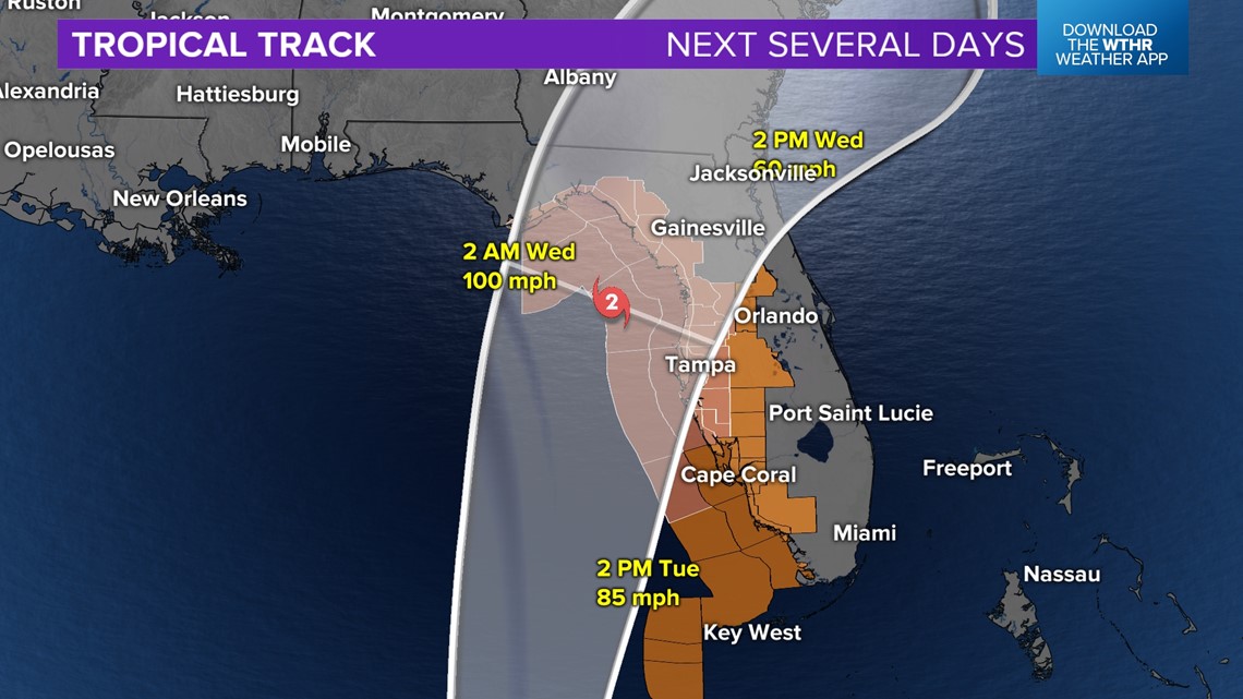

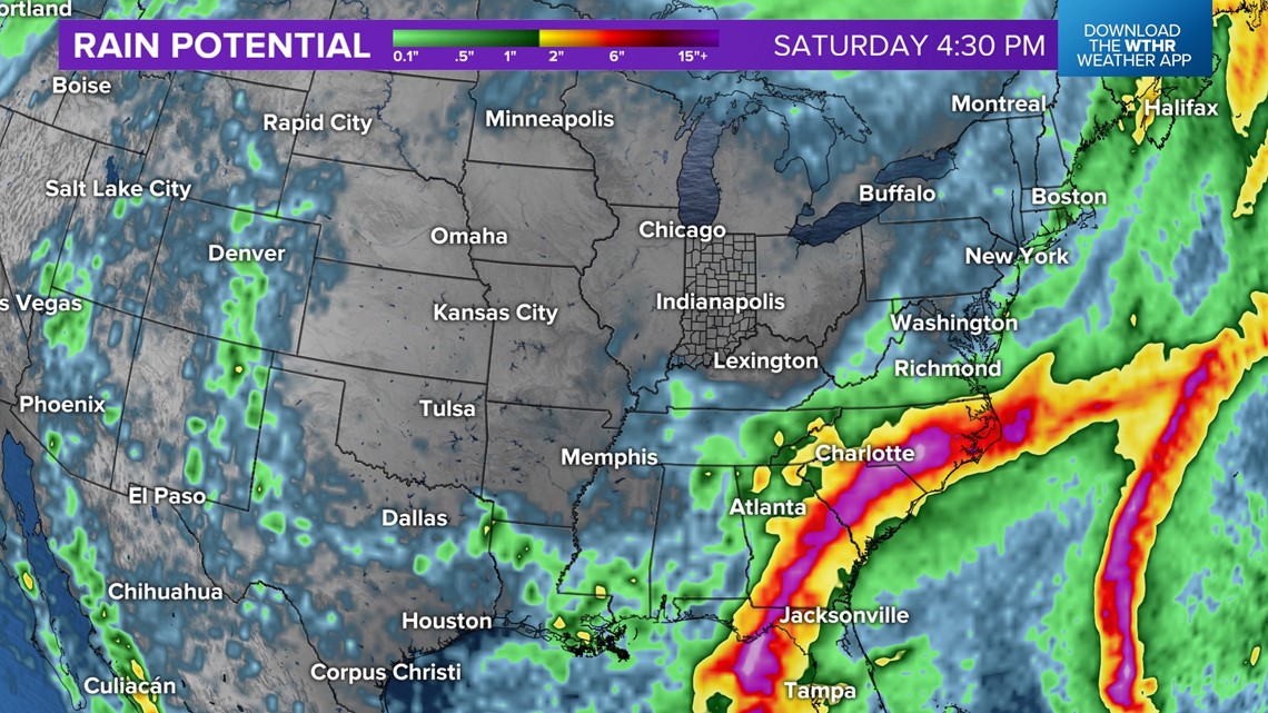
Exact landfall is to be determined, but a long stretch of the Florida Gulf Coast is under a Storm Surge Watch and/or Hurricane Watch. Please follow the forecast closely if you have travel plans to the southeastern U.S.
A high pressure system coming in from Canada later this week will aid in steering what's left of Idalia along the eastern seaboard and keep its rain away from central Indiana.

