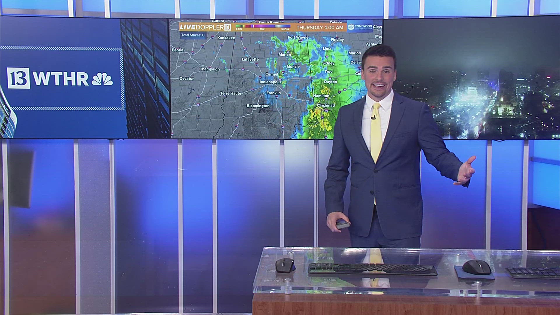
Definitely an unsettled afternoon in Central Indiana as we transition from sun and 70s... to a damp 24-36 hours.
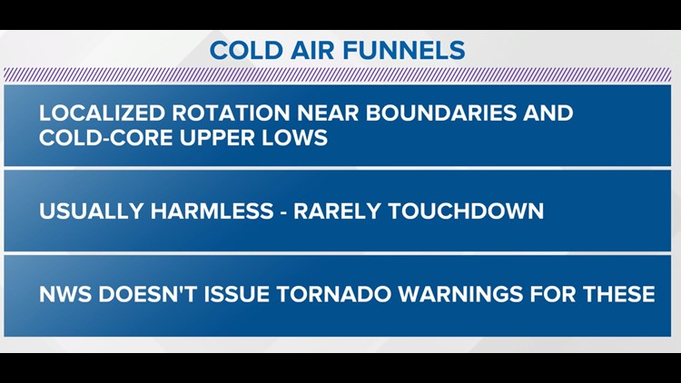
The much colder air aloft and spin around an upper low moving over Central Indiana keeps the remote possibility of cold-air funnels in play this afternoon... in addition to spotty storms & "hailers."

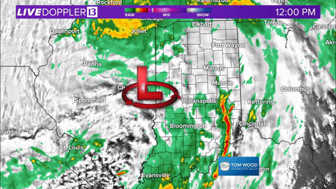
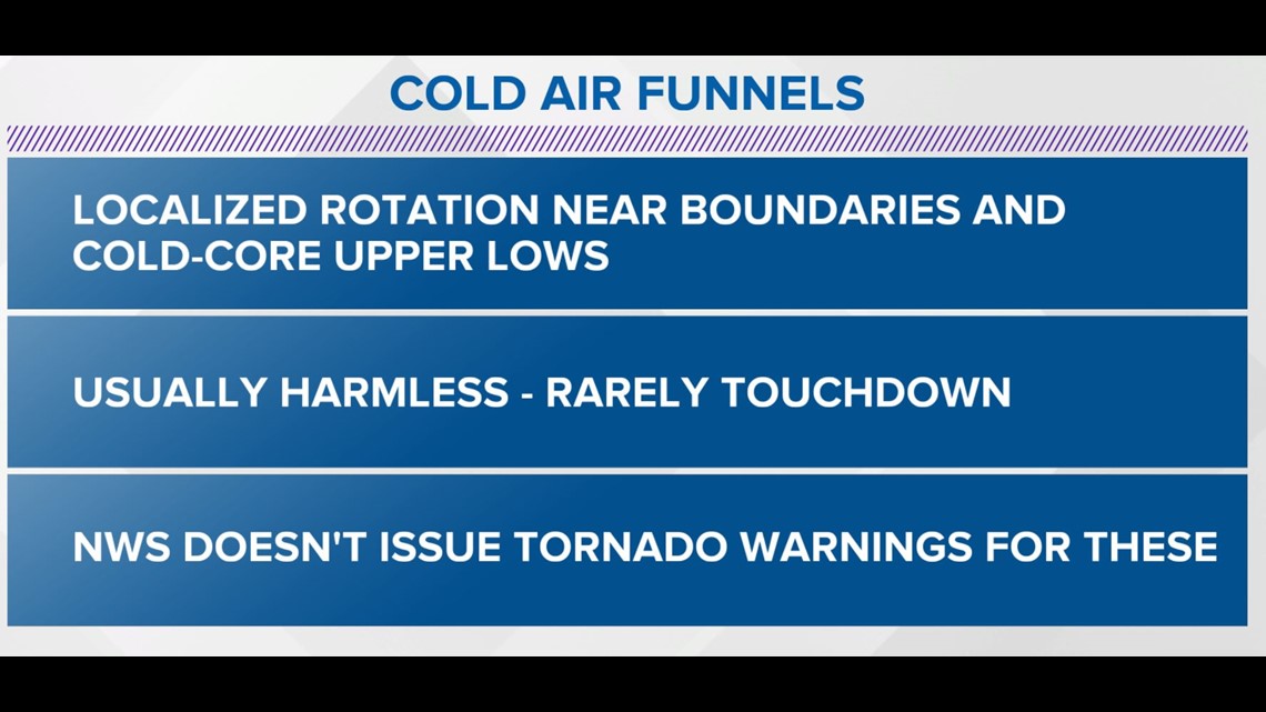
Cold-air funnels rarely touchdown and when they do it's typically for a brief time with minimal damage. But they can be alarming for those unaware of what's going on.

April is going out on a wet and windy note with rain more off than on the next 48 hours.
Temperatures likely hold steady in the mid-upper 50s for most areas with the exception of any sun breaks allowing for a quick recovery into the mid-60s.

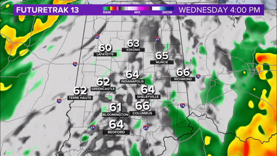
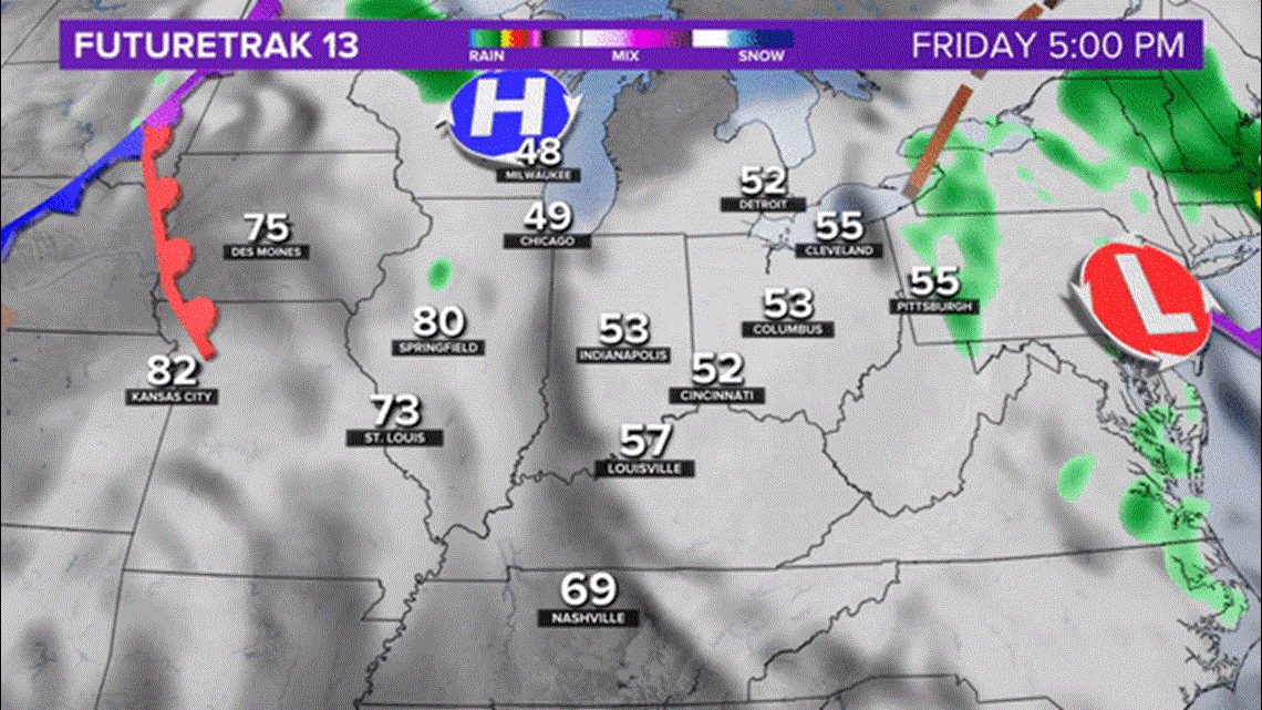
Expect the wind to ramp-up over the next 24 hours as that low pressure continues to intensify over the Great Lakes.
Central Indiana will be on the colder side (west side) of this storm tonight into Thursday... leading to a rather damp, raw, and chilly last day of April.
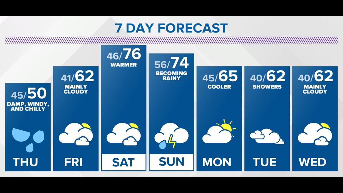
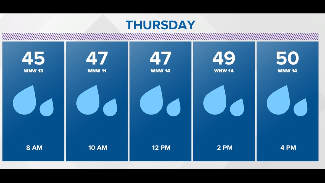
The combination of clouds, wind-whipped showers, and gusty northwest wind up to 40 mph... keeps temps in the 40s for much of Thursday.

Brighter and milder days emerge to open the weekend as highs go from 60s Friday to 70s on Saturday.
It still looks like rain increases Sunday afternoon with thunderstorms possible too.
A cooler than normal pattern seems likely next week but just how cool remains uncertain.

