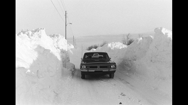
Thursday, January 25th, marks the 40th anniversary of the benchmark winter storm for Central Indiana and much of the Ohio Valley in what's labeled as a "once-in-a-generation blizzard" by various NWS offices impacted.

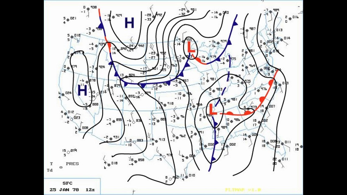
On the morning of January 25th, 1978 low pressure was centered near Memphis, TN. Over the next 24 hours the storm, energized by merging jet streams, underwent extreme intensification to became what's known as a meteorological "bomb." During that time its central pressure dropped an astounding 40 millibars by the morning of January 26th, 1978 when it was centered near the metro Detroit area.


That's nearly double what it takes to meet the 1 millibar drop per hour for 24 hours "bombogenesis" definition in meteorology. As such it holds the distinction of having the 3rd lowest measured pressure from a non-tropical system in the U.S. at 955mb. Due to its very low pressure and white-out conditions... it's also known as the White Hurricane.

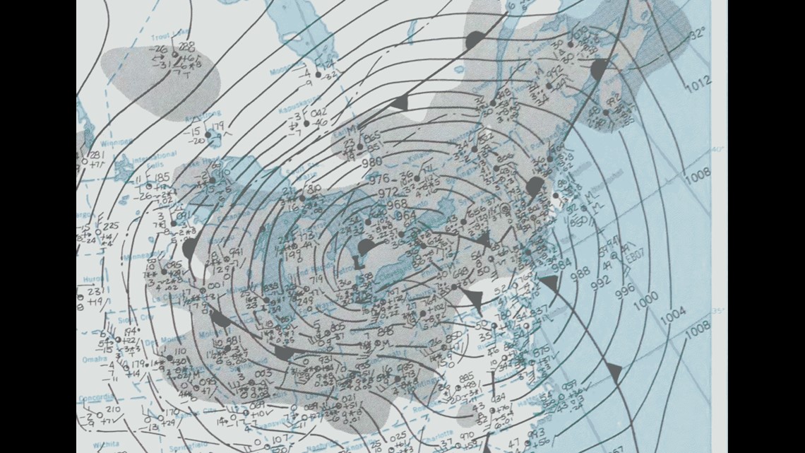
That storm track placed most of Indiana in its vigorous northwest quadrant of heavy snow and intense wind. The end result was a swath 15-36" of snow, 20-25 FOOT snow drifts, wind gusts 50-60mph, and impossible travel.


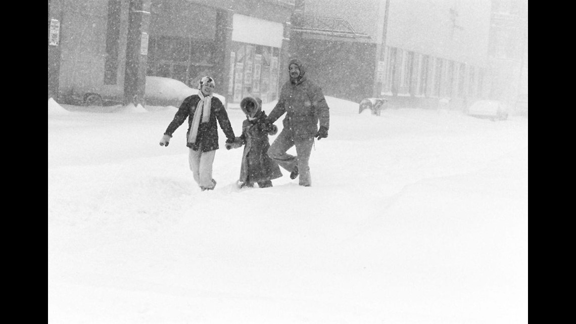
Some homes were buried and interstates became graveyards of stranded vehicles caught in the impassable routes. It took collective efforts from neighborhoods and cities to dig out.


Ask anyone that lived through this storm and their memories are vivid... and frankly why they smirk at most winter "storms." I was only a five year old in Louisville, KY at the time. But I remember helping my father shovel our driveway much of that month. If you're in your mid-40s or older you know how brutal the winters of late 70s/early 80s were.

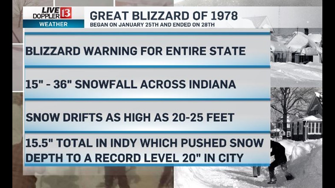
The 20" snow pack and 30.8" monthly snowfall of January 1978 remain records for Indianapolis to this date. What a storm! Here's a detailed account of the storm from the National Weather Service Office here in Indianapolis: (link)
We'd love to hear your story or see your pictures too. Please submit to newsdesk@wthr.com


