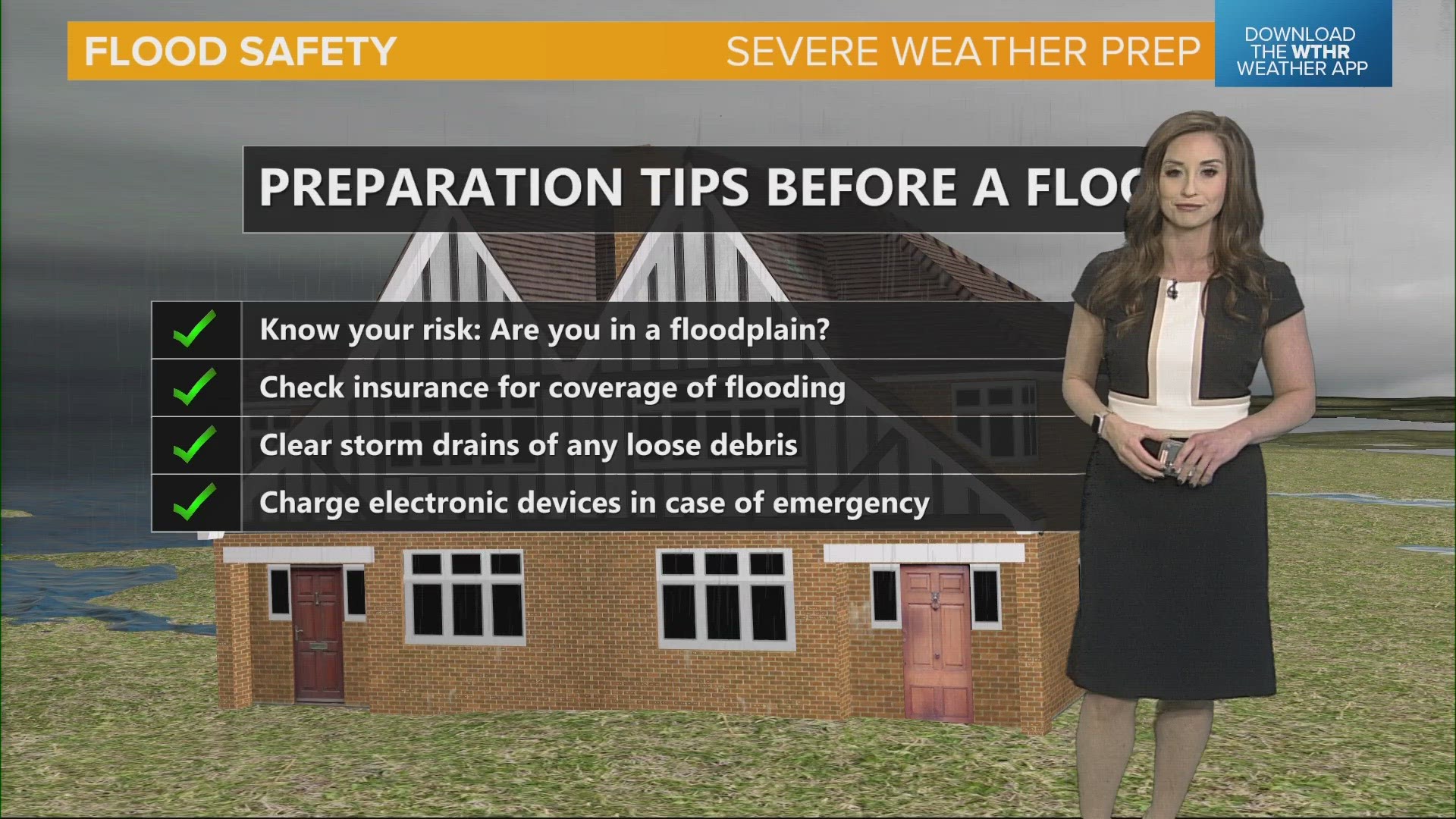
INDIANAPOLIS — As Severe Weather Preparedness Week continues, Thursday we focus on the threat of flooding.
As we've already seen this year, elevated river levels, plus a heavy rain event, can lead to flash flooding.
When these conditions are in the forecast, the National Weather Service will issue a Flash Flood Watch. This allows us to be prepared if flooding occurs. As the heavy rain begins to fill up local waterways and river basins, a Flash Flood Warning will be issued, with important messages where flooding is expected and to avoid low-lying areas.
Keep in mind that heavy rainfall can lead to rapid water rises. During a flash flood, just 6 inches of flowing water can sweep an adult person off their feet. A foot of water can move a car or small SUV, and 18 inches of flood water can sweep away a large vehicle.
It is critical you turn around and find an alternate route if you come to a flooded-out roadway.
Something to keep in mind as we plan for an active spring: know your risk. Do you live or work in a flood plain? You'll need to check insurance coverage if you do to protect your property.
Looking ahead at this spring:
- Minor flooding is expected (50% chance or greater)
- Some chance for moderate flooding (25% chance or greater) – Wabash, parts of the East Fork White, and lower White
- CPC (Climate Prediction Center) outlooks favor a wetter than normal pattern
- Rainfall will be the primary driver of flooding
You can find more flood safety information at this link.

