INDIANAPOLIS — The rest of today will be the calm before the storm as clouds will slowly build in. Temperatures will be unseasonably mild with highs in the mid 50s this afternoon.
Temperatures will then drop into the 40s this evening setting us up for a great night to check out one of many local holiday light displays.

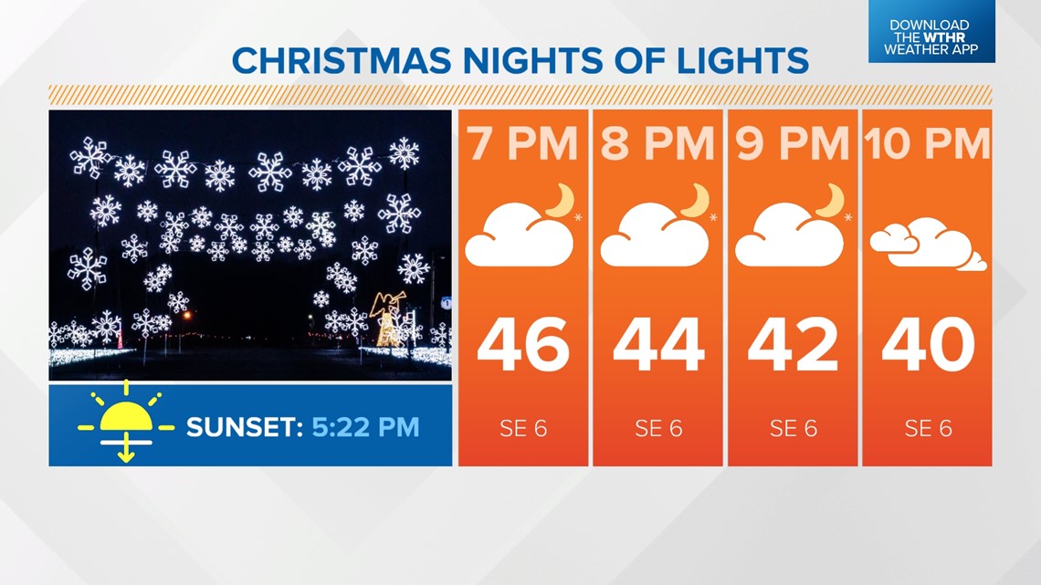
With the increased clouds, temperatures won't be as cold overnight with lows across central Indiana in the mid to upper 30s.
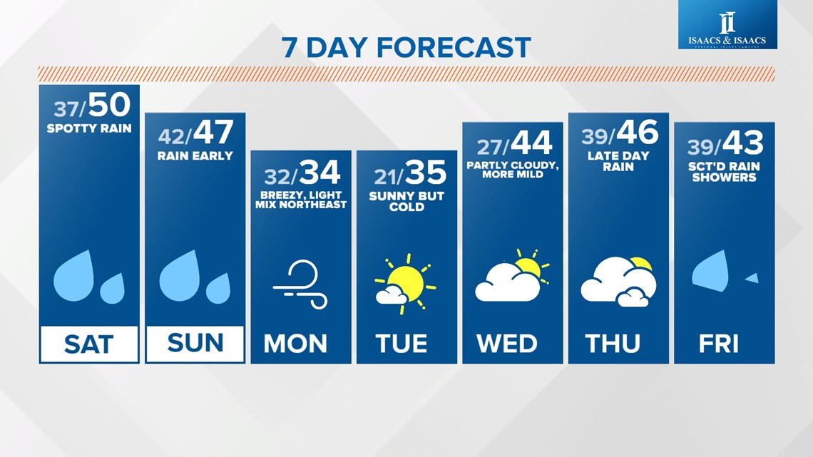
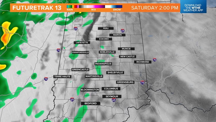
We'll start the day with more dry time with spotty rain developing after 2 p.m.

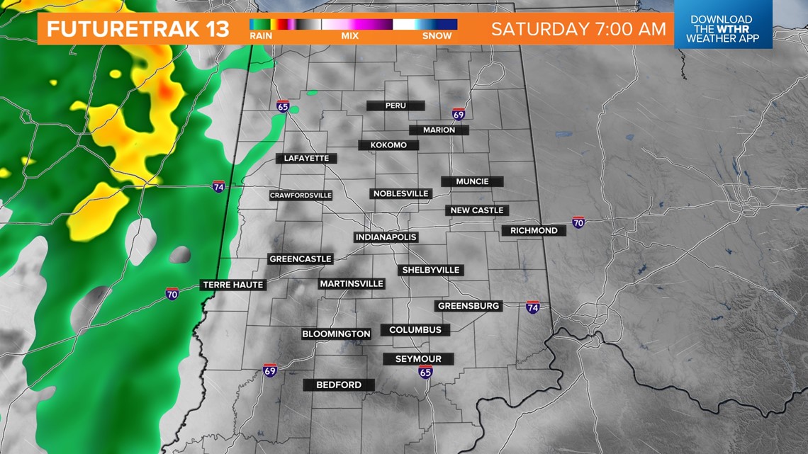

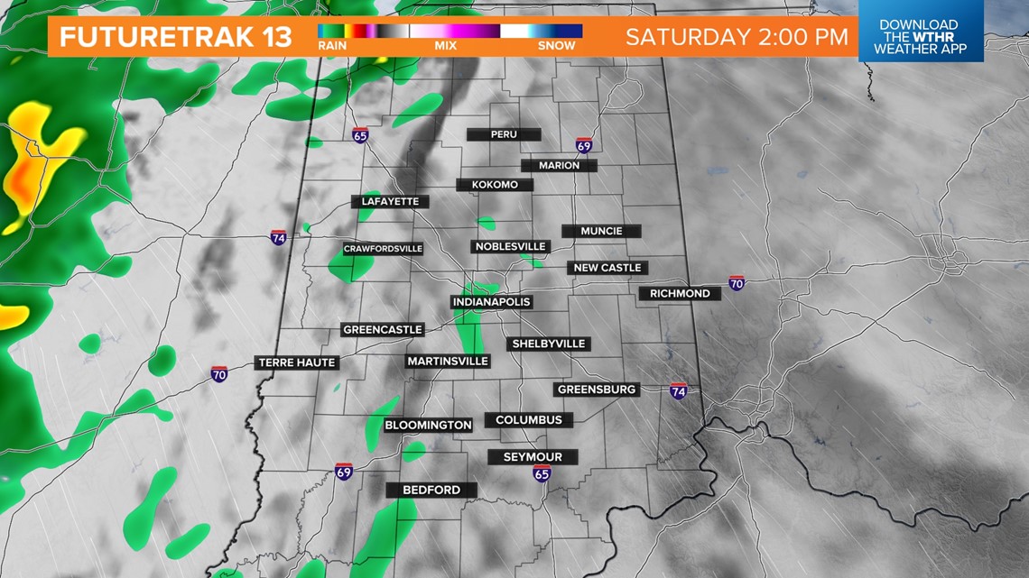
We've got a busy day in downtown Indianapolis on Saturday between the Indy Classic at Gainbridge Fieldhouse to the Colts hosting the Steelers at Lucas Oil Stadium in the late afternoon.
The better chance for more widespread rain pushes in later in the evening, mainly after 8 p.m. We'll still be mild for this time of year with highs near 50.


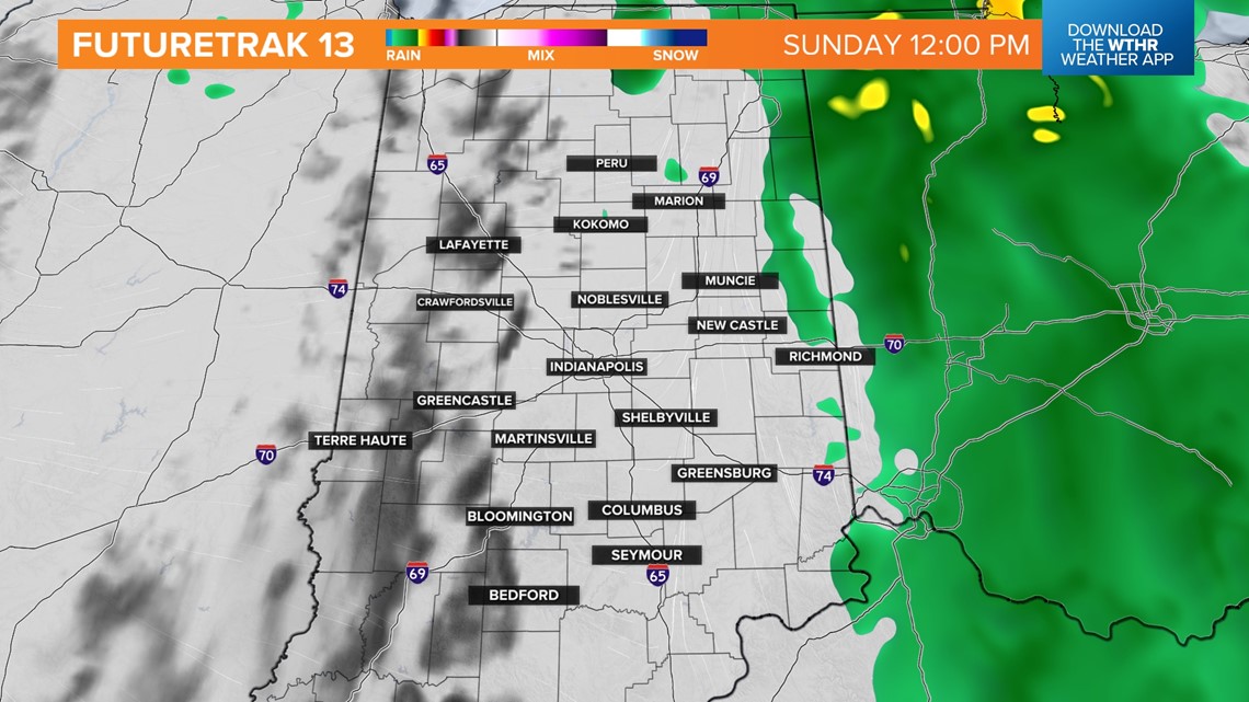
Widespread rain will continue overnight into Sunday morning. Showers begin to taper off by midday Sunday as this storm system pulls east of the area. Temperatures hold steady in the mid to upper 40s.
With most of the area now in drought conditions, any rain is welcomed. Most spots see 0.25" - 0.75" out of this system.


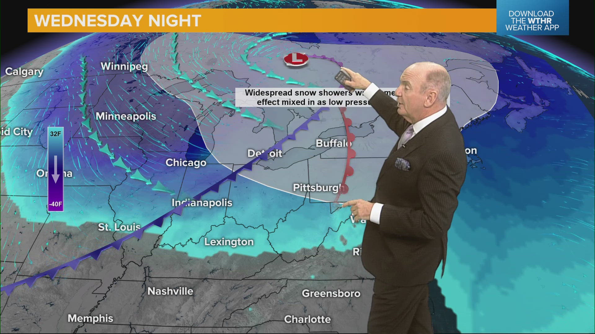
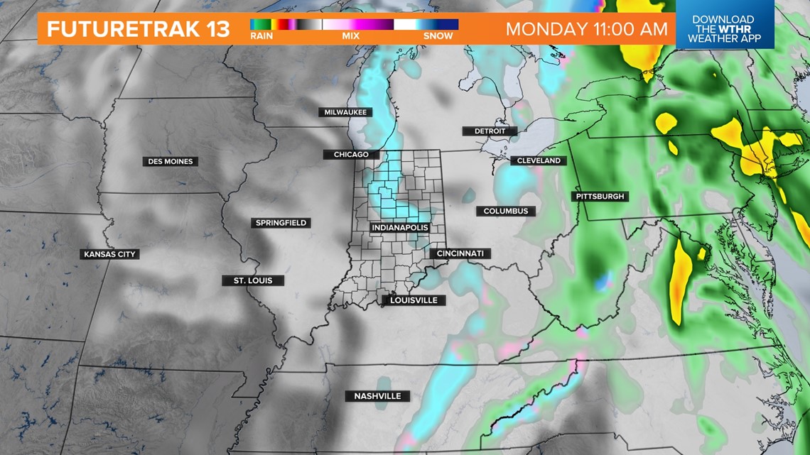
Much colder air settles in to start next week. Temperatures will hold steady in the low to mid 30s on Monday. A cold northwest wind will also bring the potential of lake-effect snow showers, especially across the northeastern tier of the state.

Highs will be in the mid 30s again on Tuesday as sunshine returns. Temperatures will become more seasonal by mid-week with highs back in the mid 40s. The next rain chance returns late Thursday into Friday.

