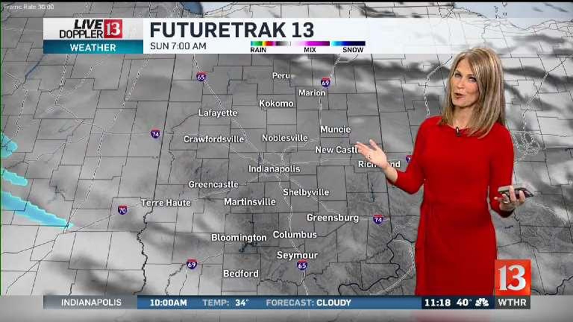
It will be a cloudy Friday night with a few rain showers possible. Expect a cloudy Saturday, with temperatures in the upper 30s and lower 40s. A few sprinkles/flurries are possible on Saturday too. We are tracking a stronger storm system for the end of the weekend and early next week. Our latest data is in good agreement for the potential of accumulating snow. There is still some disagreement in the latest analysis on timing. For now, we will go with the slightly faster solution. This brings the threat for accumulating snow to central Indiana later Sunday and Sunday night. It is still too early for exact snow maps, but a few inches of snow will be possible. Stay tuned for updates on timing and how much snow in your backyard.
The storm system will continue to impact our weather pattern on Monday, with some lingering snow showers with the threat for some wintry mix or rain the farther south you are. If the storm takes the slower timeline, there will be some lingering snow showers Monday night into early Tuesday. We get new information every few hours and we will keep you updated. Just know you will need to be weather aware from late Sunday through possibly early Tuesday.

