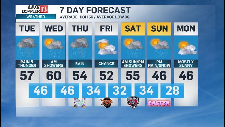
The wet forecast is certainly playing out in Central Indiana with many areas already in the .25" to .75" rainfall range. An additional 1" to 2" of rain is likely the next 24 hours and locally higher amounts remain possible.
River flood warnings have been issued for some rivers in far western Indiana and we're river and creek levels to remain high due to snow melt/more rain on the way.
Showers Wednesday morning give way to cloudy conditions and highs near 60 in the afternoon. The break from rain is short in nature with showers and some downpours again emerging Wednesday night into Thursday. This brings an additional half-inch to locally one inch of rain by Friday morning. Rain may also mix with some wet snow Thursday night into early Friday.
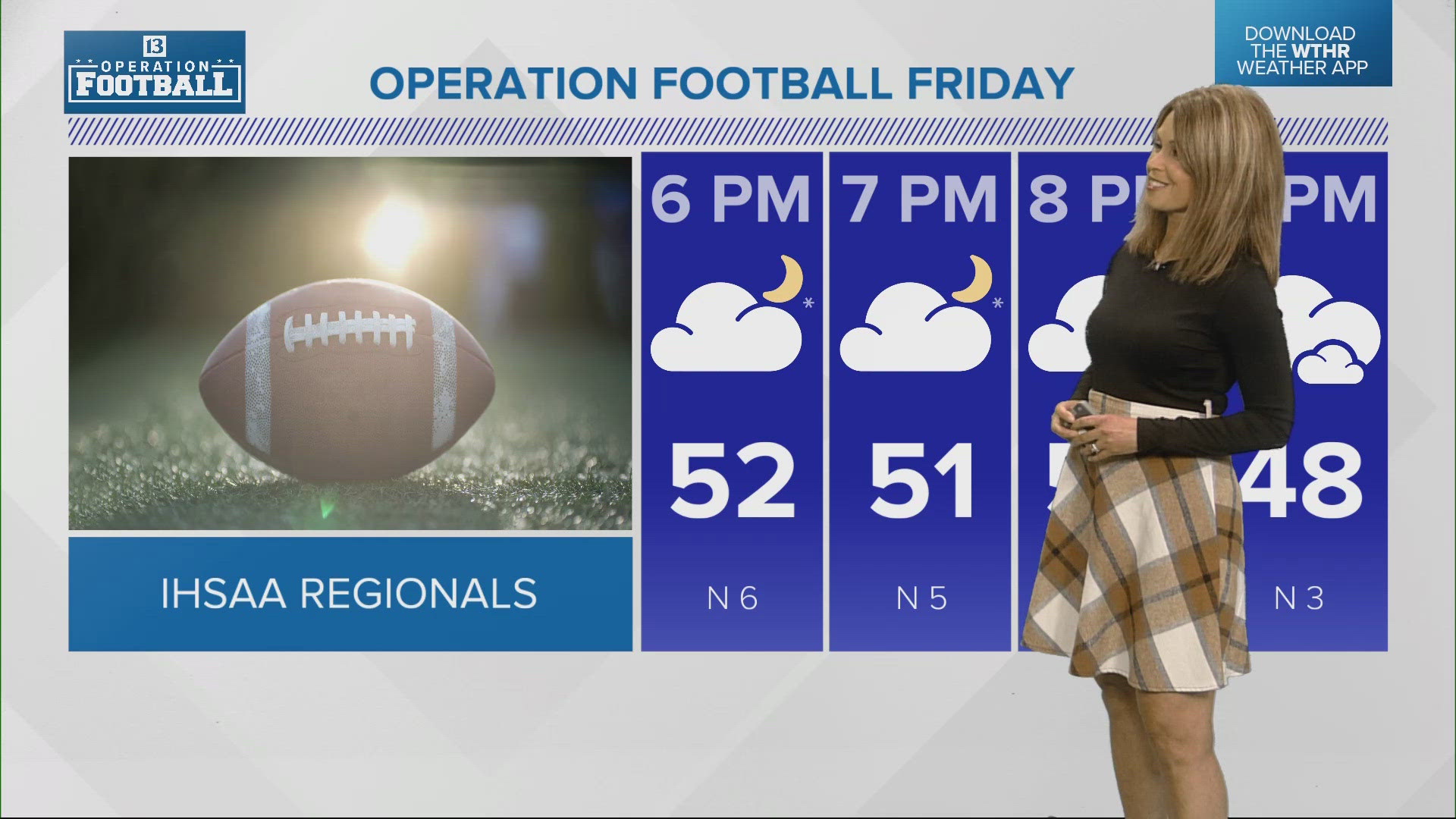
But latest guidance suggests Friday should have decreasing clouds with highs in the lower 50s. We continue to fine-tune the Easter weekend forecast. For now Saturday appears to start sunny and seasonably cold in the lower 30s. Clouds increase Saturday with showers possible in the evening.
Easter Sunday may possibly start dry but there's some potential of rain/wintry mix developing in the afternoon-evening with highs only in the 40s. This marks the beginning of a stretch of colder than average days to kick-off April...with perhaps several days of highs in the 40s. Stay tuned for updates - Sean Ash


