x
Breaking News
More () »

Interactive map brings size of western wildfires closer to home

Getting a grasp on how massive the fires have spread may be difficult for those away from the tragedy.
Credit: AP
Flames shoot from a home as the Bear Fire burns through the Berry Creek area of Butte County, Calif., on Wednesday, Sept. 9, 2020. The blaze, part of the lightning-sparked North Complex, expanded at a critical rate of spread as winds buffeted the region. (AP Photo/Noah Berger)

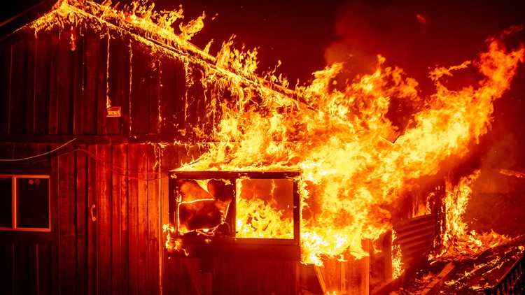
The wildfires on the west coast of the United States have killed dozens of people and left homes, buildings and dozens of acres burned in their wake. 

But getting a grasp on how massive the fires have spread may be difficult for those away from the tragedy. NBC News reports the wildfires have burned more than 7,000 square miles of land - about the size of New Jersey. 

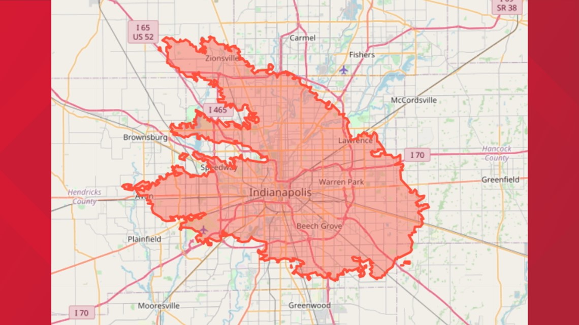
To get a grasp on how big each individual fire has spread, NBC News created an interactive map that allows you to lay the size of each of 16 wildfires over any region in the United States. 

Click here to view the interactive map. 

Credit: Joe Murphy & Jeremia Kimelman / NBC News graphic
Data from the National Interagency Fire Center and the U.S. Census Bureau shows the spread of the Beachie Creek Fire south of Portland, Ore. (as of Sunday, Sept. 13) laid over a map of Indianapolis.

Before You Leave, Check This Out