INDIANAPOLIS — Strong storms, some of which were severe, ravaged central Indiana Wednesday leaving thousands of people without power, bringing down trees and flooding streets, schools and buildings.
Multiple central Indiana counties were hit by the strong storms.
Just before noon, a severe thunderstorm warning was issued for Hendricks County. The storm had projected wind gusts of around 60 mph.
Johnson, Morgan, Bartholomew, Brown, and Shelby counties were put under a severe thunderstorm warning not long after.
The strong storms put thousands out of power. Just before noon Wednesday, nearly 27,000 people were without power in Marion County.
Lawrence Township Schools dismissed early due to power outages at Harrison Hill Elementary, Belzer Middle School, and Lawrence Central High School.
The district said that because of the outage and extreme temperatures, the decision was made to dismiss the schools early.
By 1 p.m. AES Indiana reported its crews were working to restore 23,980 customers affected by high winds and lightning from the severe storms that had moved across AES' service area. AES also said crews were working to repair "significant damage to power lines and equipment."
AES Indiana customers are encouraged to report downed power lines and outages by calling 317.261.8111 or by visiting aesindiana.com/outages.
AES said it was too early to know when power would be restored.
As storms moved south, Greenwood was hit hard by rain. A little less than an inch of rain fell on the city.
One Twitter user shared a video of strong winds blowing over his patio umbrella and shattering his patio table.
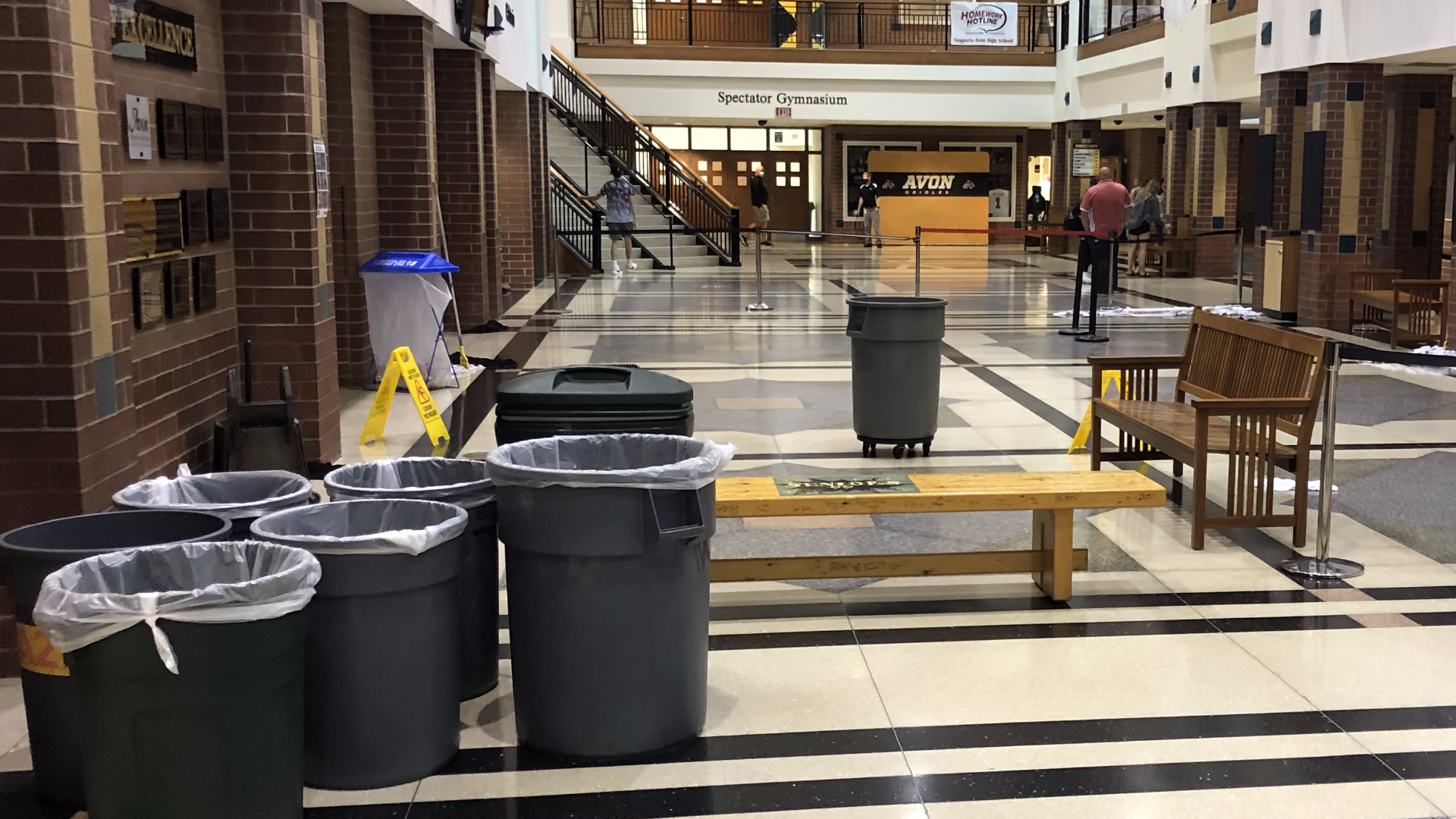
Center Grove High School was one of a number of schools that experienced damage and/or flooding from the storms.
The torrential downpour caused a water leak in the lower level of the building. Students were relocated to other classrooms.
Avon High School also experienced storm damage. Crews spent much of the day cleaning up water damage at the school. A video showed water pouring from the ceiling Wednesday.
Indianapolis also got hit hard. In the words of WTHR meteorologist Sean Ash, "The faucet is wide open."
It was that "wide open" faucet that forced Gleaners Food Bank of Indiana to close for the remainder of the day. The food bank reported its office and warehouse had sustained "significant damage due to the storm."
Gleaners said the fire alarms sounded, which led to a full building evacuation and closing of the Cynthia H. Hubert Community Cupboard.
Gleaners is still assessing damage and working to mitigate any damage to food in our warehouse.


When the storms passed, they left damage and flooding in their path.
At around 1:41 p.m. a flash flood warning was issued for portions of Marion and Hendricks counties until 2:15 p.m.
Indianapolis got a little more than an inch of rain Wednesday. Many roads throughout the city experienced heavy flooding and some even needed to be blocked off.
On the near east side at the intersection of North Sherman Drive and East 10th Street, there was heavy flooding under a bridge that some cars had attempted to drive through.
IMPD responded to the area after those drivers got stranded in the high water.


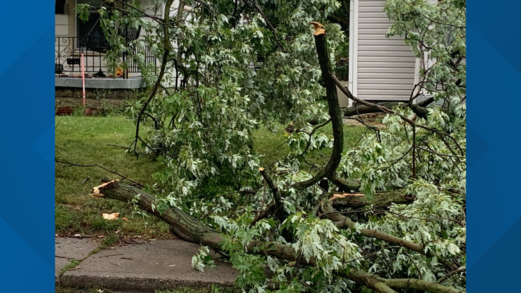
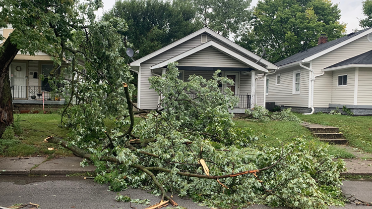
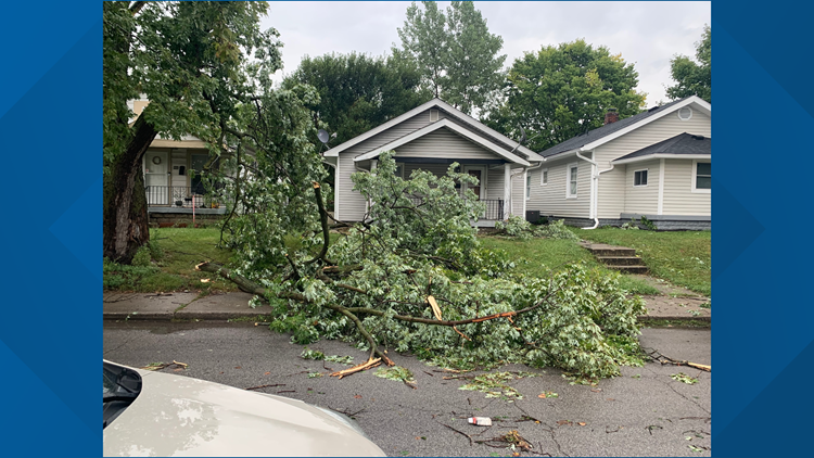
Not far from this flooding, a tree was down in the area of 10th Street and Bosart Avenue.


Storms and strong winds also hit north of the city.
In Fishers, 1.06 inches of rain fell Wednesday. A viewer shared a photo of a tree that had fallen down.
Central Indiana storm damage
For central Indiana, this rain was much needed. By Aug. 19, central Indiana hadn't seen much rain in weeks. Only 0.15" of rain had been recorded.

