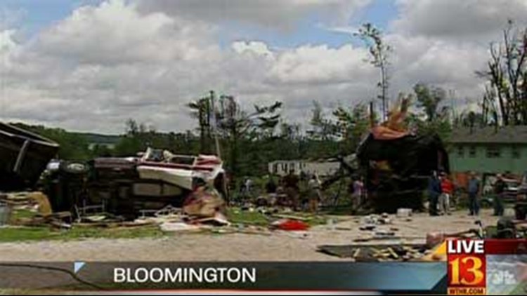
INDIANAPOLIS - The severe thunderstorms that pushed across central Indiana on Wednesday produced numerous reports of severe weather. Two tornadoes were reported, one in Bedford, in Lawrence County, and another in near Brownstown in Jackson County. Numerous reports of high winds and large hail were common across central Indiana Wednesday afternoon and evening.
National Weather Service storm survey teams were sent to the Bedford, Bloomington, Greensburg, and Columbus areas Thursday afternoon. It has been determined that a high-end EF-2 tornado struck Bedford, and the tornado that hit a mobile home park near Bloomington has a preliminary estimate of EF-1 category. The damage path in Bloomington started near SR45 and SR47 and ended near SR37. It appears that a series of microbursts with weak embedded tornadoes caused the storm damage in Bloomington.
Latest damage reports for the Greensburg area are indicating a high end EF-1 tornado, or possibly 2 separate tornadoes. These reports are preliminary and still being evaluated. The extensive damage was concentrated on the southwest and northern sides of Greensburg.
In addition, there was damage one mile west of the town of Letts in Decatur County. However, this damage was due to sporadic straight line winds. Damage in this area primarily consisted of downed trees, leaning power poles and lines, and part of a roof peeled off of a church.


