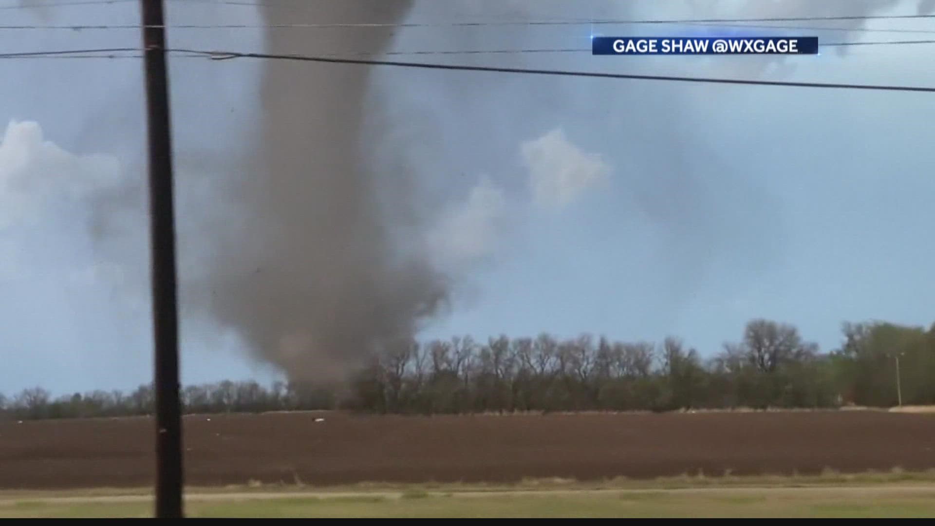
INDIANAPOLIS — Central Indiana residents will want to Stay Weather Aware on Saturday evening, when there's a threat of severe weather throughout the area.
The main threat will be damaging winds, but large hail and isolated tornadoes will be possible.
The severe threat will continue until 2 a.m. in east central Indiana, with thunderstorms weakening overnight.
There are multiple ways to share weather photos with us from your area:
Check out the latest Live Doppler 13 weather forecast, check out the weather conditions in your neighborhood with our Interactive Radar or watch a live stream of Live Doppler 13 Radar.
Here are the latest updates on the severe weather:
3:45 a.m. - The main storm cell is past metro Indianapolis and dying out.
1:45 a.m - Storms continue to move west-to-east with the heaviest rain south of Indianapolis.
10:48 p.m. - The strongest storm of the night is moving over Tipton and Howard counties. The storms have winds of over 40 mph and pea-sized hail is possible.
9 p.m. - The main line of storms is still in eastern Illinois, moving northeast. Several of the storms have produced damaging winds. There was also a confirmed tornado.
The line of storms will make it to Indiana after 10 p.m. Due to all the storms ahead of this line, instability is very limited. The chances of severe storms has diminished some, but not completely.
7:55 p.m. - Showers and thunderstorms are helping stabilize central Indiana. However, there are still severe storms off to the west. A tornado has been confirmed near Colfax, Illinois. The tornado was moving northeast at 40 mph.
6 p.m. - Evening forecast update:

