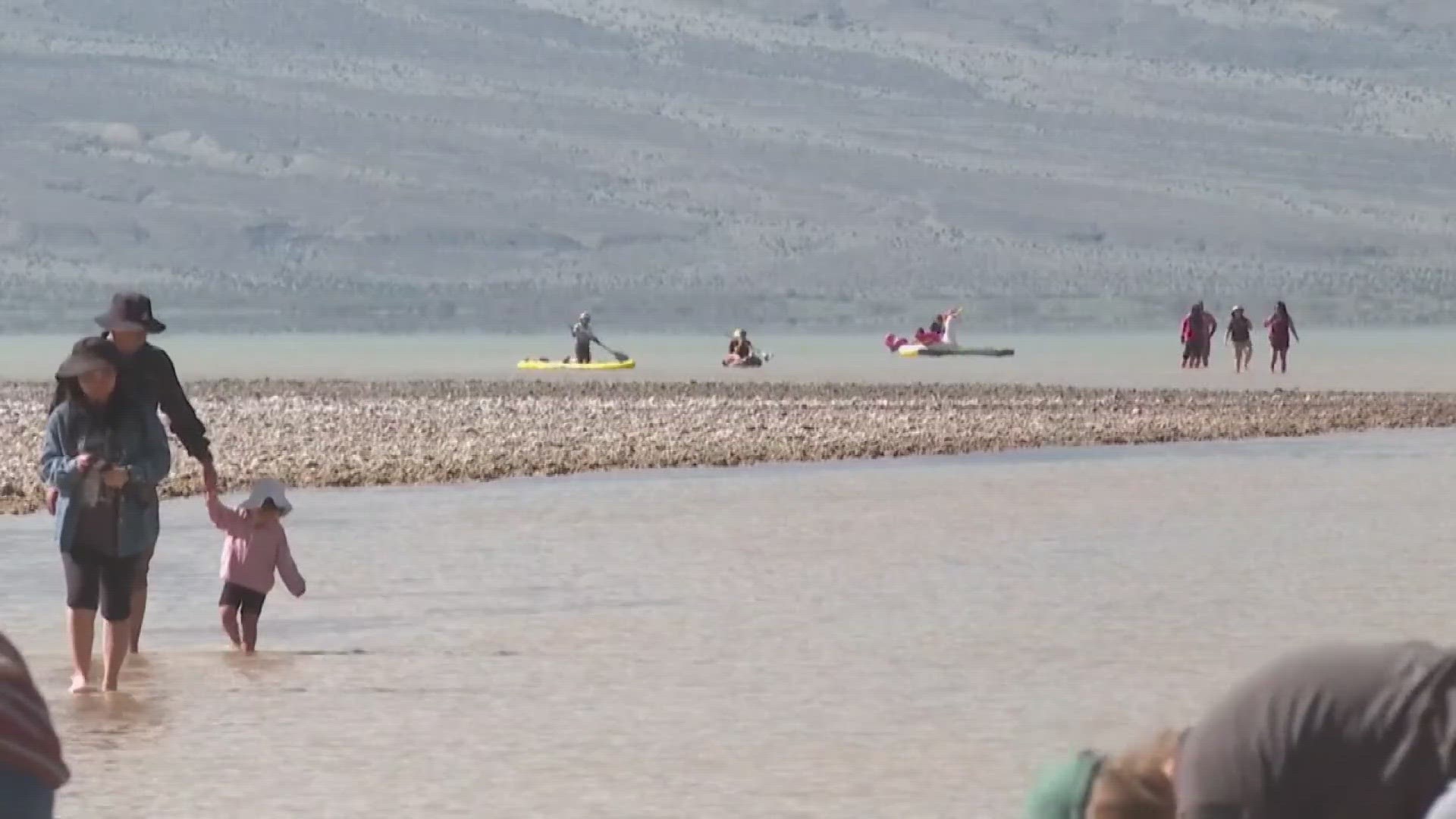
DEATH VALLEY JUNCTION, Calif. — Kayakers have been paddling in one of the driest places on Earth after a series of record rain storms battered California’s Death Valley and replenished Lake Manly.
Park Ranger Nicole Andler said Badwater Basin at Death Valley National Park, which runs along part of central California’s border with Nevada, “is normally a very beautiful, bright white salt flat.”
This year it is a lake.
In the past six months, Death Valley has received more than double its annual rainfall amount, recording more than 4.9 inches compared to a typical year that gets about 2 inches. Temperatures at or above 130 F have only been recorded on Earth a handful of times, mostly in Death Valley.
Badwater Basin is the lowest point in North America at 282 feet below sea level and has been a favored spot for tourists to take selfies and briefly walk along the white salt flats ringed by sandy-colored mountains.
“It’s the lowest point, in North America. So it’s going to collect water, but to have as much water as we have now — and for it to be as deep and lasting as long as it has — this is extremely uncommon,” Andler said. “If it’s not once-in-a-lifetime, it’s nearly.”
Andler said kayakers should come soon since water levels are expected to drop in a matter of weeks, though the lake “will probably be here into April. If we’re lucky, May. And then it’ll be a muddy, wet mess, and then it’ll dry out into those gorgeous white salt flats.”
On a recent day, Heather Gang of Pahrump, Nevada, and her husband, Bob, paddled the lake where the water reached up to about a foot deep in parts.
“It’s a once-in-a-lifetime opportunity to kayak Lake Manley,” Heather Gang said.
It was a sharp contrast to the Death Valley of the past where they figured they had once stood around the same spot and looked at the chalky salt flats for as far as the eye could see.
The couple has been eyeing the lake’s evolution ever since last year’s storms started filling the lake. In the fall, they drove out to see it re-emerge as a lake but they said it wasn’t deep enough for kayaks like now. This time the water reached up to the boardwalk.
The lake, which is currently about six miles (9.66 kilometers) long and three miles (4.83 kilometers) wide, is still nowhere near its original state thousands of years ago after it formed during the Ice Age and covered a significant part of the park and was several hundred feet deep.
Bob Gang said he had heard the lake had filled up to the point that boaters could go on it about 20 years ago, so he didn’t want to miss out on the experience this time.
“It’s a lot of fun,” said Bob Gang, who gave a girl a ride on his kayak. “It’s good to see the little kids out here enjoying this and seeing something totally unique.”
It could be another 20 years before boaters return, he added, but “with climate change, who knows, maybe this will be the normal.”
MORE ON CALIFORNIA WATER: The world's biggest dam removal project changing a California river.

