INDIANA, USA — It was a snowy afternoon and evening for some of Indiana on Thursday, bringing a band of one to three inches of snow just north of Indianapolis.
ALERT: Thursday's snow has led to multiple reports of snow patches and black ice across central Indiana, mainly north of the I-70 corridor.
Tap HERE to track the snow showers across the U.S. with our interactive radar.
Northern extent of the snow: Warsaw, Fort Wayne and Logansport.
Southern extent of the snow: Greenwood, Bargersville and Rushville.
In between is where we picked up a dusting to two and a half inches of snow. As of Friday morning, most of this has stuck and stayed frozen. Temperatures stayed in the teens and 20s overnight. Any melting that occurred at the end of Thursday has refroze.
Snowfall reports from across Indiana
We have the top snowfall reports listed.


(Note: There were several locations around a half inch to a trace. Most of the immediate suburbs of Indianapolis picked up roughly a quarter to half inch of snow.)
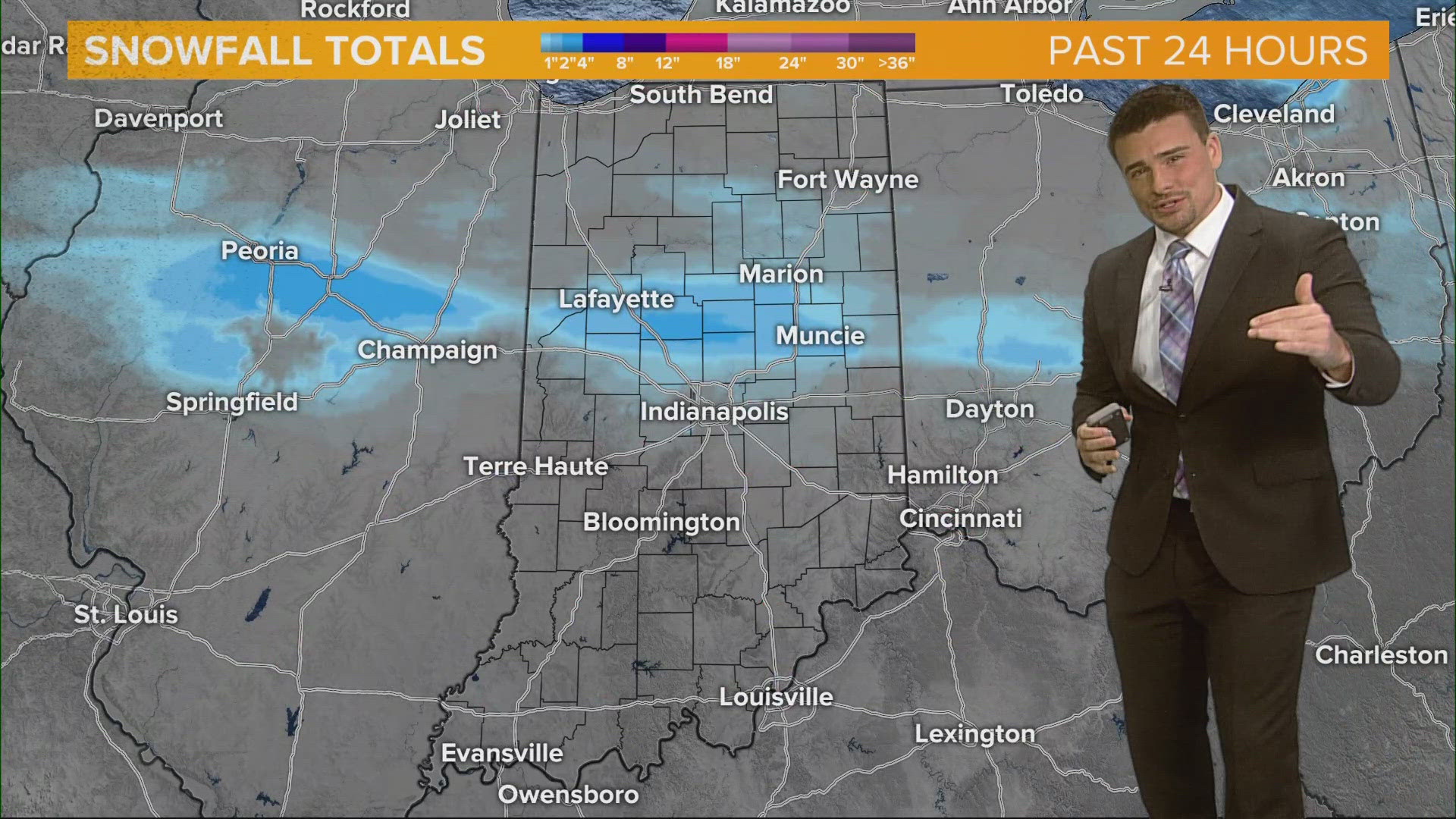
This map shows were we saw snow most likely sticking from radar estimations.


Not all of Indiana got snow. In fact, most of Indiana did not (by land). The snow stretched from I-70 to north-central Indiana around Warsaw and Fort Wayne.
Counties that saw the most snow (A to Z):
- Boone
- Carroll
- Cass
- Clinton
- Delaware
- Fountain
- Grant
- Hamilton
- Howard
- Madison
- Miami
- Tippecanoe
- Tipton
- Warren


This is a closer look at some of the snowfall estimations based on how heavy the snow was. 80% of what fell easily stuck because temperatures were so cold.
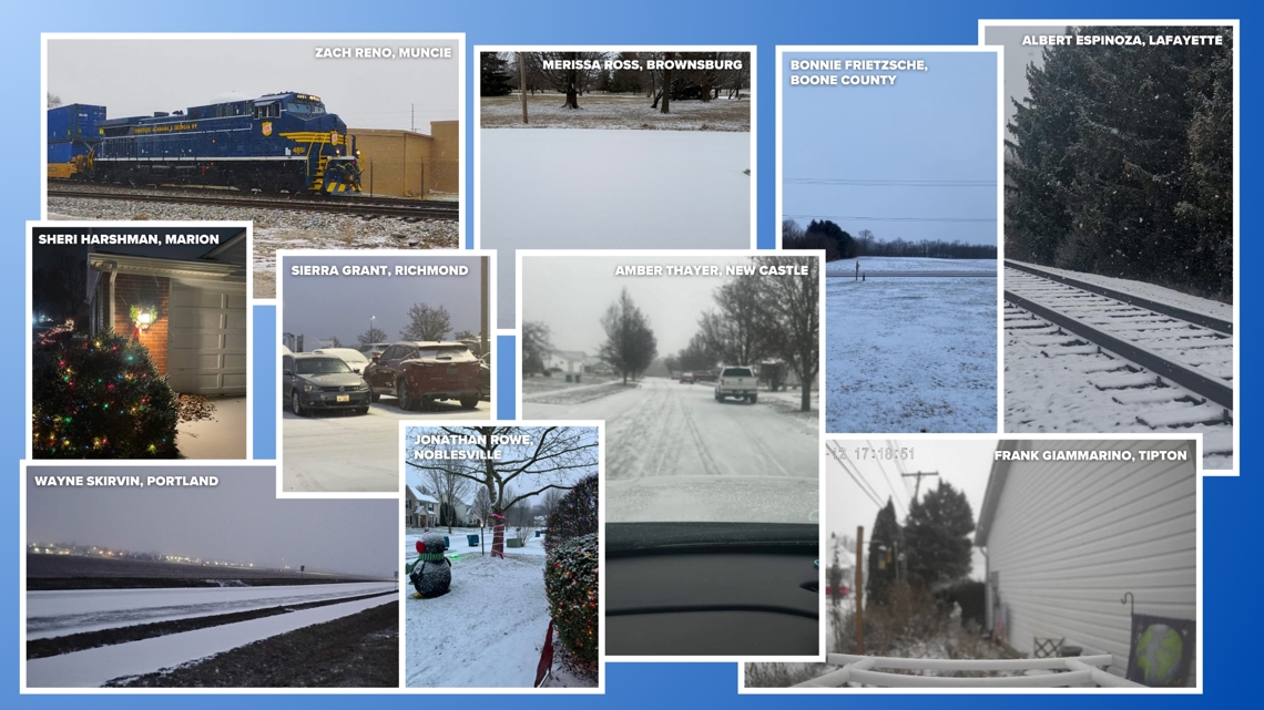
You all submitted very frosty, snowy photos from across the state. Generally in the snow band, we picked up a dusting to three inches.


Looking ahead
Warmer weather is temporarily here for the weekend. Enjoy some more 40s and 50s, but rain showers are possible at times, especially on Sunday.

