INDIANAPOLIS — Though widespread heavy rainfall is over in central Indiana, lowland and river flooding continues the next couple of days. This comes after some rather impressive rain totals the past 48 hours ranging from 1.5" to locally near 5" (Vincennes).
The Indy metro area was hit hard Wednesday night/early Thursday morning with 2.5" to nearly 3.5"+ in some areas, creating urban flooding and aiding in some accidents during the morning commute.

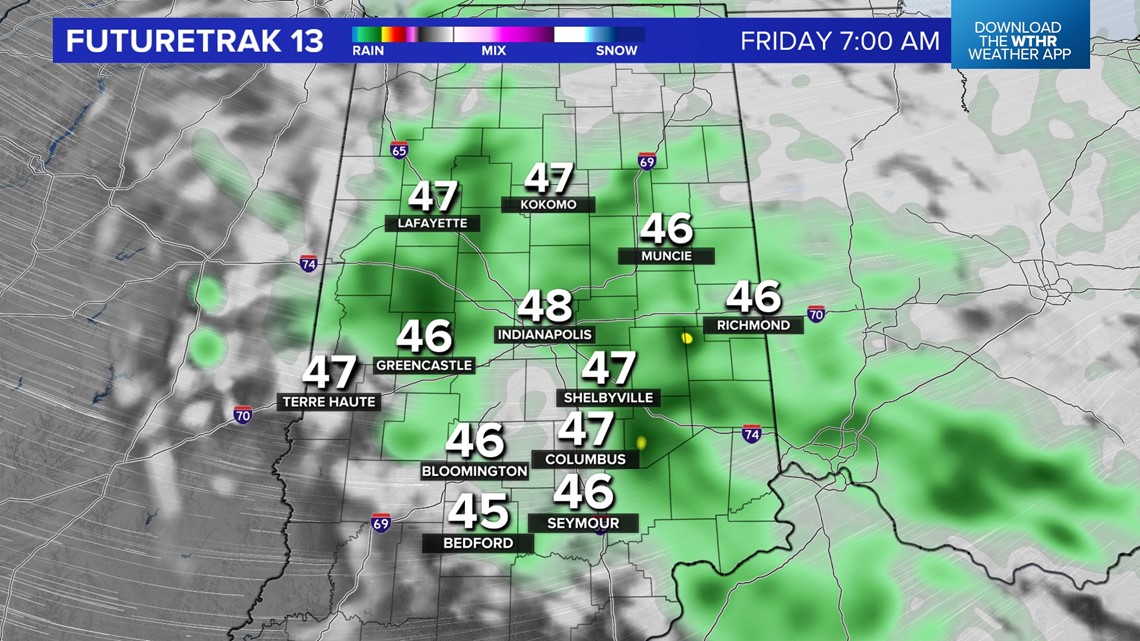

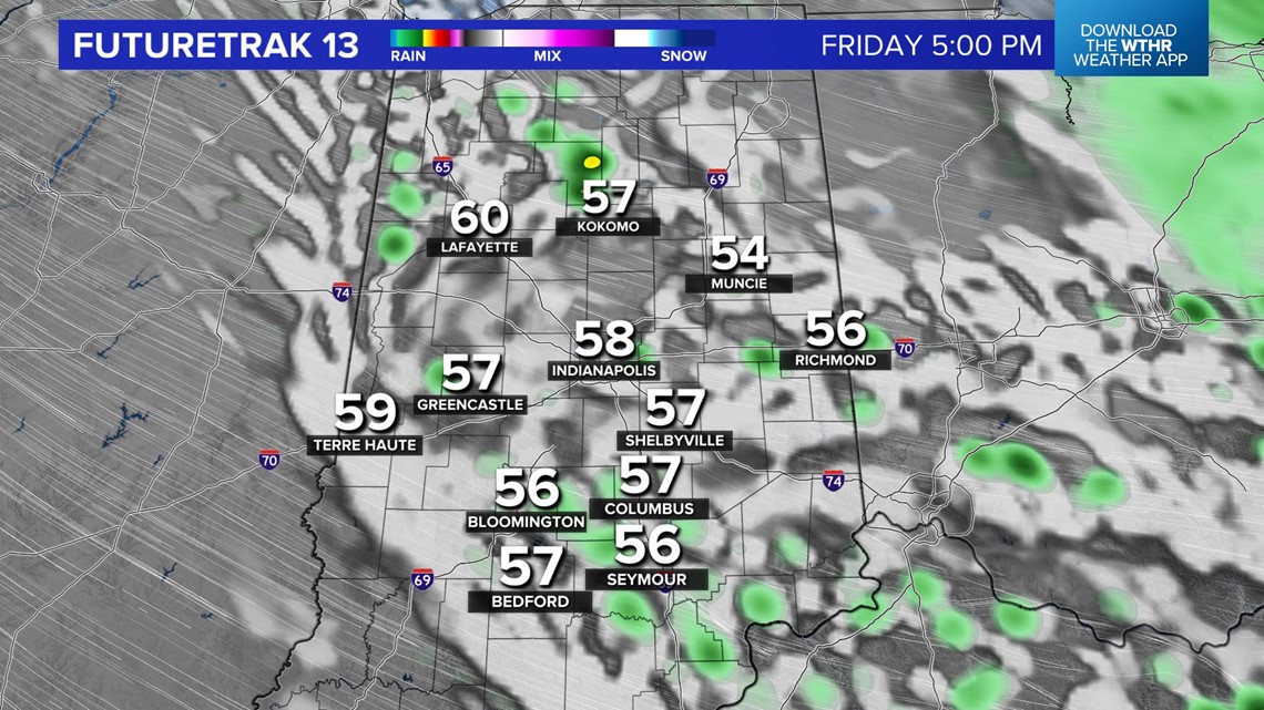
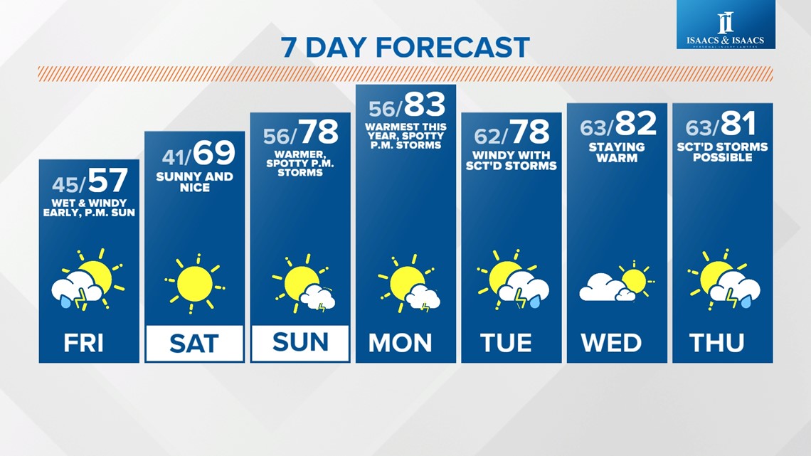
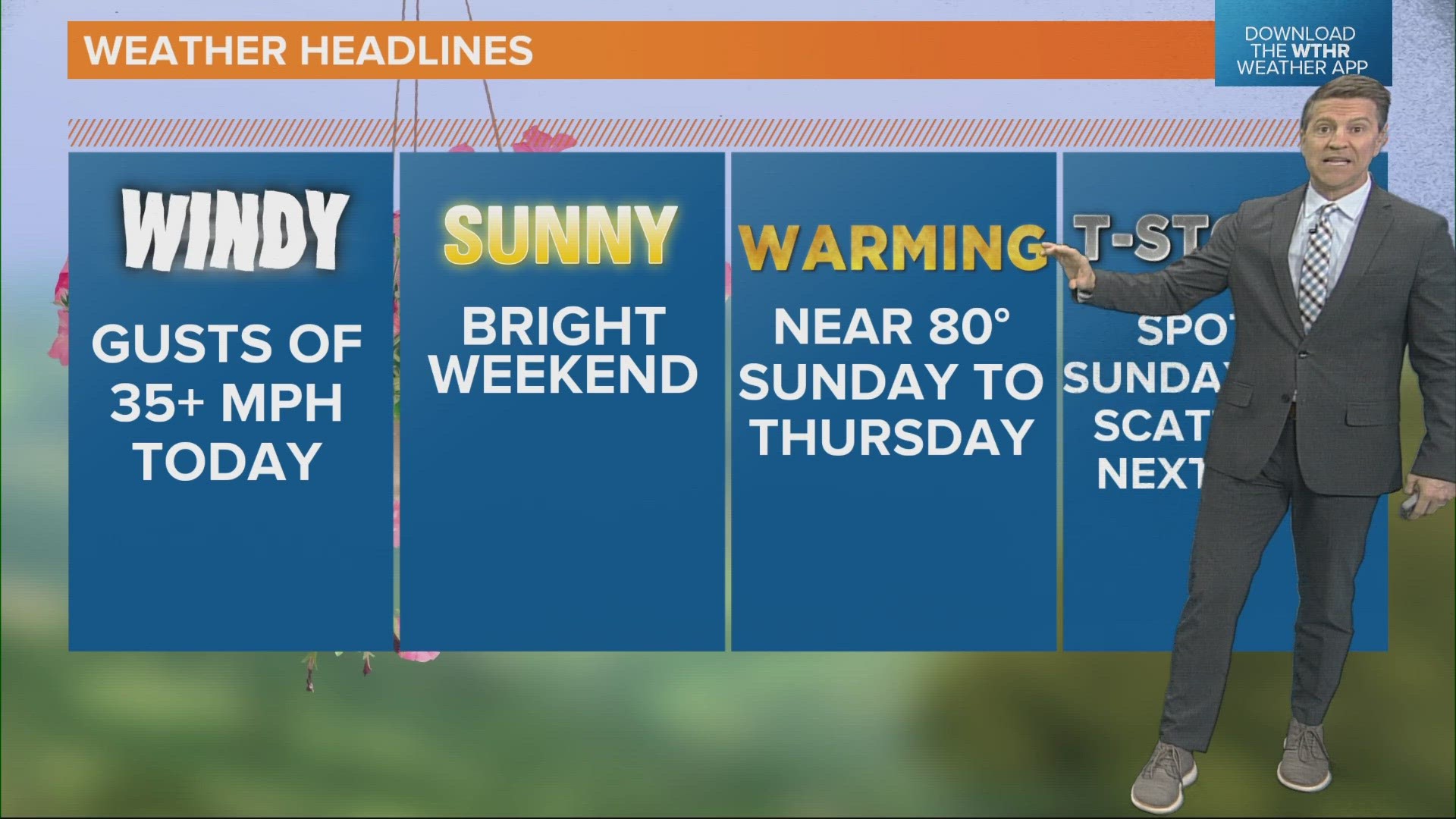
Damp, windy, and cool conditions continue overnight into Friday morning with lows dropping into the 40s. Rain gear is ideal for kids going to school, but we should see some peeks of sun in the afternoon with temperatures nearing 60°.
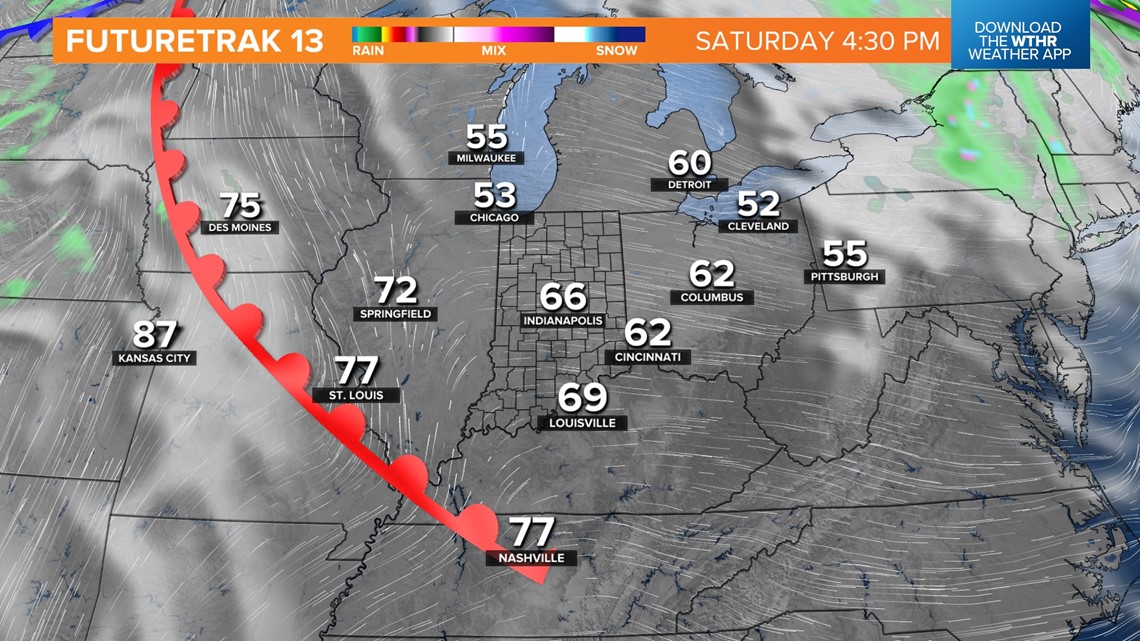
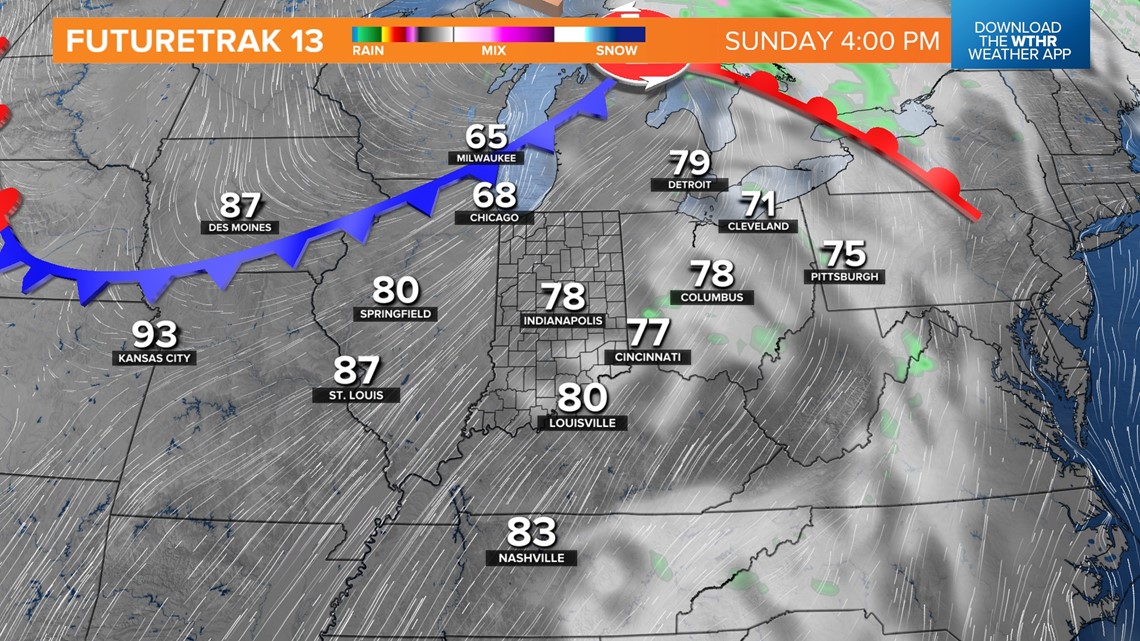
As the clouds depart Friday evening, the stage is set for a the fantastic weekend we've been advertising for days now. It will be a sunny Saturday with highs of 65°-70°. The passage of a warm front Saturday night delivers even warmer (mid/upper 70s) for Sunday with spotty storms possible.



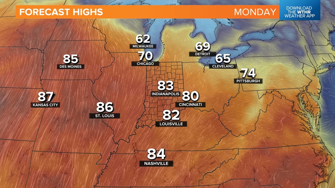
Then, the warmest air of the year – and warmest since early October last year – spreads into the state Monday with highs likely well in the 80s — some 20° above average.

