INDIANAPOLIS — Hurricane Helene is now a 100 mph Category 2 storm and is expected to strengthen during the day before it makes landfall.
Not only is this hurricane expected to bring dangerous storm surges and violent winds, the storm system is extremely wide, which can bring power outages across multiple states when it makes landfall.
The list of watches and warnings from the National Hurricane Center is long.
Summary of watches and warnings in effect:
A Storm Surge Warning is in effect for:
- Mexico Beach eastward and southward to Flamingo
- Tampa Bay
- Charlotte Harbor
A Hurricane Warning is in effect for:
- Anclote River to Mexico Beach
A Hurricane Watch is in effect for:
- Englewood to Anclote River, including Tampa Bay
A Tropical Storm Warning is in effect for:
- Florida Keys, including the Dry Tortugas
- Flamingo to Anclote River, including Tampa Bay
- West of Mexico Beach to the Okaloosa/Walton County Line
- Flamingo northward to Little River Inlet
- Lake Okeechobee
- Cuban provinces of Artemisa, Pinar del Rio, and the Isle of Youth

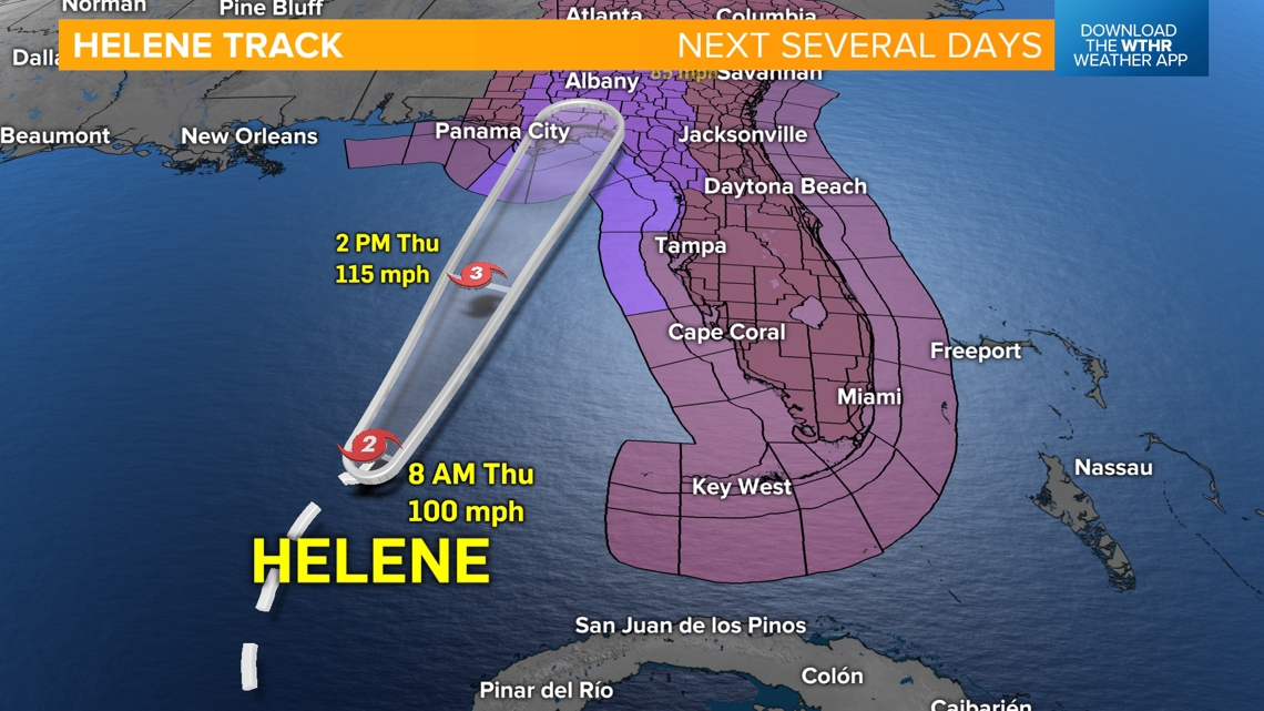
During the day, the storm will rumble northeast in the Gulf of Mexico and make landfall tonight between 7-9 p.m. as a possible Category 4 hurricane south of Tallahassee. Emergency management personnel and Gov. Ron DeSantis agree this could be a devastating storm with life-threatening storm surges and wind gusts.
We will have full coverage during the day on WTHR Channel 13. We are expecting widespread wind damage, flooding and power outages in Florida all the way north to West Virginia.
How will it affect Indiana?
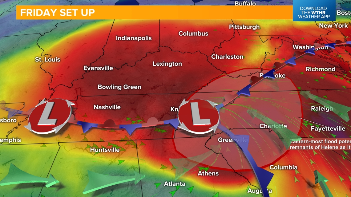
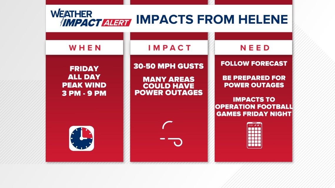
As the storm weakens tomorrow, it may actually join forces with an upper level of low pressure. For us, that means a Weather Impact Alert Day due to intense winds and rain. Our current forecast calls for very high wind gust tomorrow from 30 to 50 mph in the afternoon and early evening. Power outages are not out of the realm of possibility. That means the Circle City Classic Parade and the IU football game could be in play Saturday.
Most computer modeling seems to indicate that we could get one to three inches of rain. The worst case scenario, as one model suggests, would be a total of four to seven inches of rain. That seems real unlikely at this point, but there could be flash flooding in the Bloomington-Columbus-Seymour area if that happens.
Regardless, the rain will really help with our drought conditions.
As you check out the seven-day outlook, notice the much-needed rain on Saturday, Sunday and Monday. As we go deeper into the week, the first signs of autumn begin to appear with highs only in the 60s.