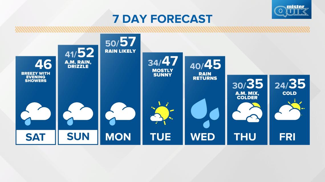
INDIANAPOLIS — We're getting a break from the cold with some more mild air moving in for the next few days. This will also bring a few rounds of rain through Monday afternoon.

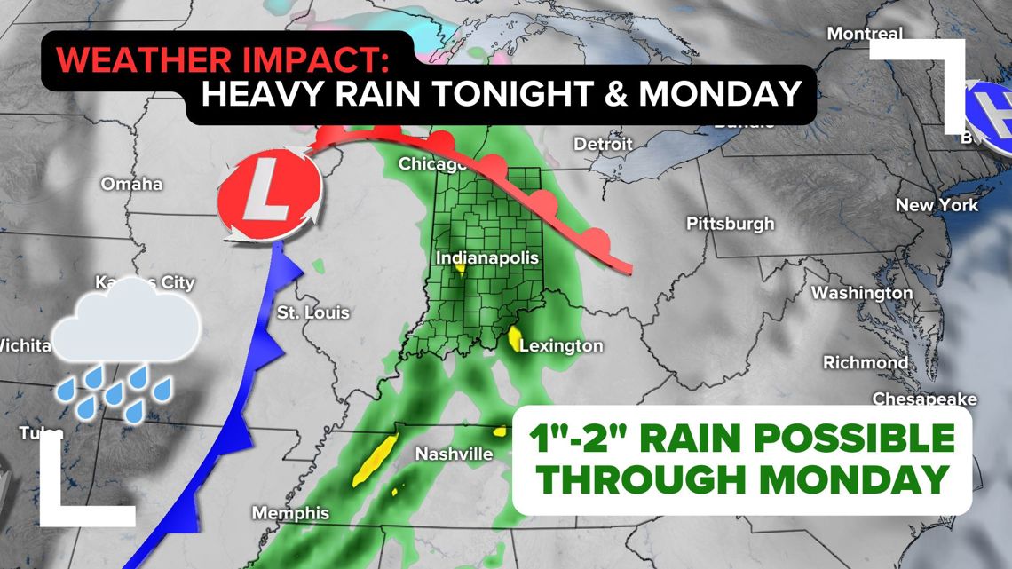
LATEST RAIN TIMELINE:
Most of our Saturday will be dry and mild as temperatures recover into the mid 40s this afternoon as clouds build in. You'll also notice gusty winds shifting from the southeast up to 25 mph at times.

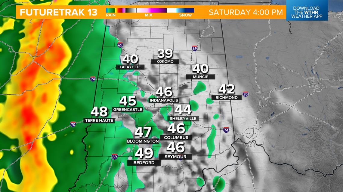
Rain will push into the western tier of the state around 4 p.m. and become widespread across central Indiana soon after.

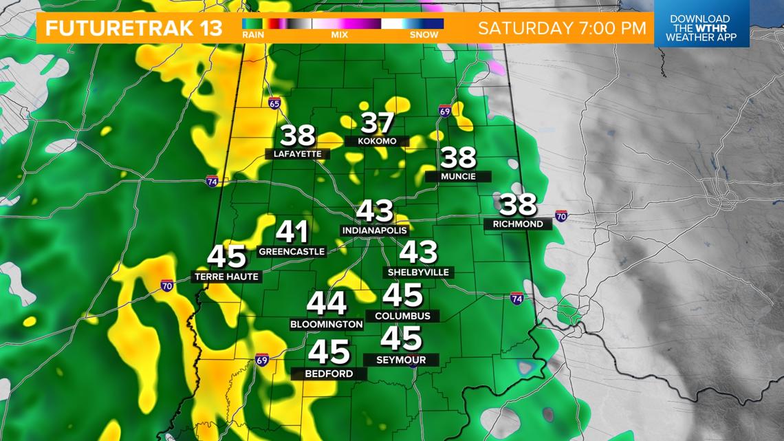
Rain will be likely and heavy at times through the evening and overnight. Steady temperatures around 40 degrees.

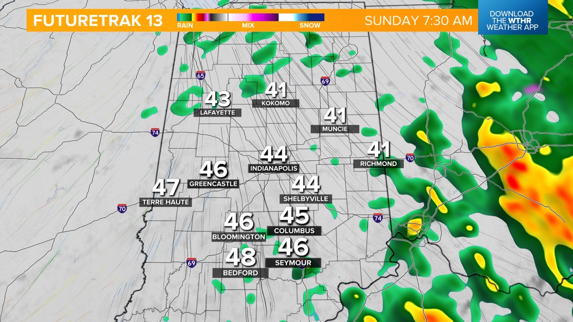
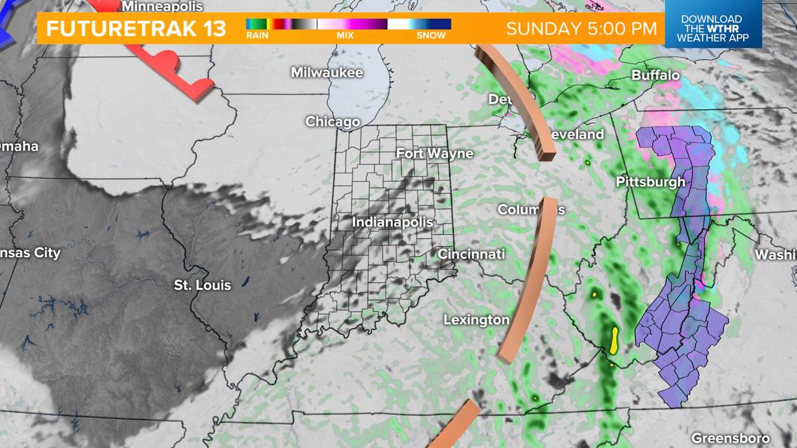
Showers linger into Sunday morning then taper off in the afternoon, staying cloudy but mild with highs in the low 50s.

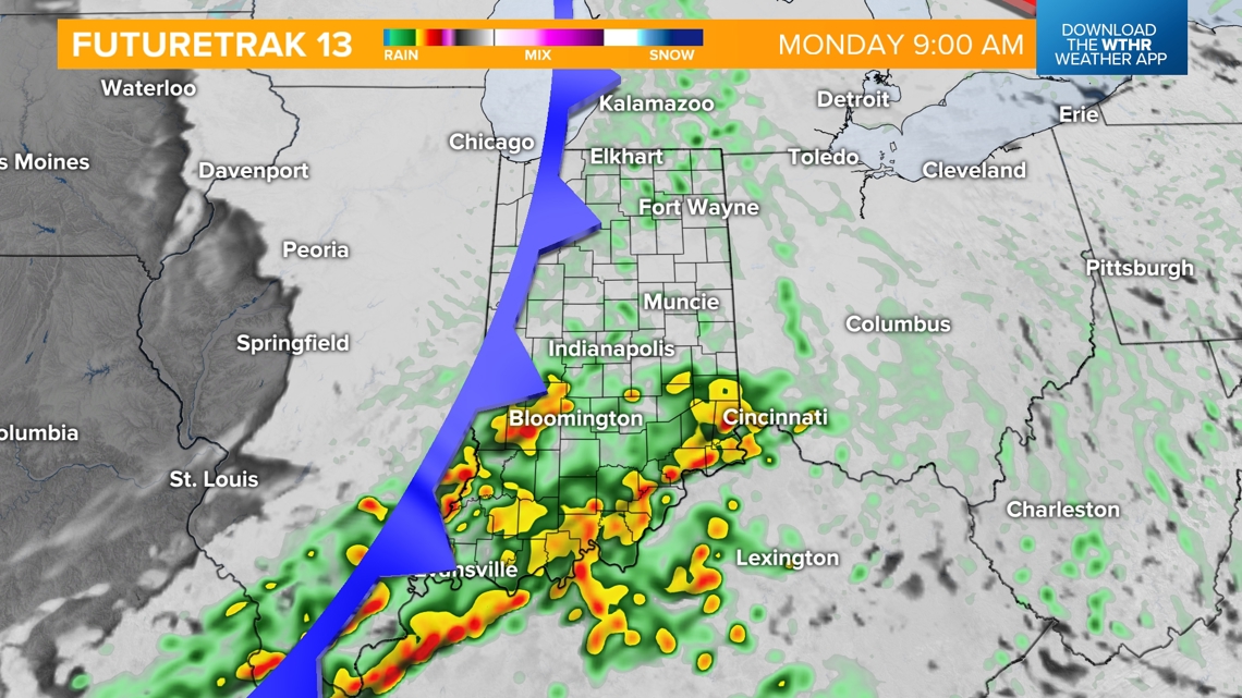
Another round of rain moves in Monday morning with showers likely into the afternoon as a cold front moves through the state. We'll still be in the "warm sector" of this weather system so look for mild highs in the mid to upper 50s.

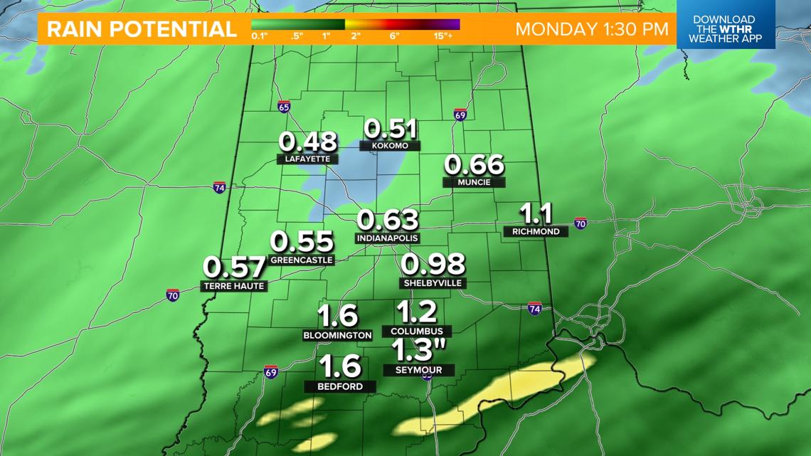
How much rain are we expecting with this wet pattern?
Between the multiple rounds of rain through Monday, northern Indiana will see around a half inch of rain and up to 1.5" south of Interstate 70.

Will temperatures stay above average for long?
Behind this front, skies clear and temperatures cool a bit with highs back in the upper 40s for Tuesday. Another weather system brings rain chances again on Wednesday. Behind this system, we'll see colder air returning with highs back in the mid 30s late next week.

